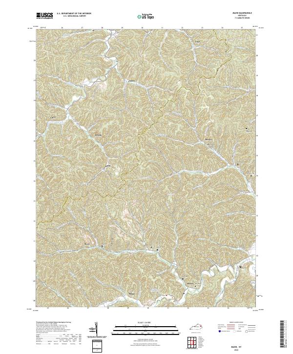
2022 Map of Mazie
USGS Topo · Published 2022About this map
Mazie and Martha sit at the center of this deeply dissected landscape on the Elliott and Lawrence County border. The topography is defined by the winding course of the Right Fork Blaine Cr and its many tributaries, such as Little Fork Little Sandy River and Cains Cr. Settlement patterns here strictly follow the narrow valley floors, with small communities like Skaggs and Sarah linked by winding roads such as Wallow Hole Creek Rd.
Find a feature on this map
73 named features on this map. Tap any name to fly to it.
Don’t see what you’re looking for? This feature index may not catch every label — zoom into the map to look around manually.
Map Details
Editions of this 2022 Mazie Map
This is the sole edition of this map. No revisions or reprints were ever made.
Other maps of this area

1886 · Prestonsburg
USGS Topo · 1:125,000

1889 · Salyersville
USGS Topo · 1:125,000

1891 · Salyersville
USGS Topo · 1:125,000

1892 · Prestonsburg
USGS Topo · 1:125,000

1899 · Salyersville
USGS Topo · 1:125,000

1903 · Kenova
USGS Topo · 1:125,000

1904 · Kenova
USGS Topo · 1:125,000

1915 · Paintsville
USGS Topo · 1:48,000

1917 · Paintsville
USGS Topo · 1:62,500

1950 · Bruin
USGS Topo · 1:24,000