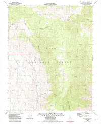
1982 Map of Mazourka Peak
USGS Topo · Published 1983About this map
Mazourka Peak rises above the high desert terrain of the Inyo Mountains, serving as a focal point for this survey of the Inyo National Forest. The landscape is defined by its arid geography and seasonal water sources, marked by numerous named springs such as Santa Rita Spring, Side Hill Spring, and Johnson Spring. A network of 4WD trails and unimproved roads connects the various canyons and flats, hinting at a history of resource extraction and high-altitude exploration.
Find a feature on this map
28 named features on this map. Tap any name to fly to it.
Don’t see what you’re looking for? This feature index may not catch every label — zoom into the map to look around manually.
Map Details
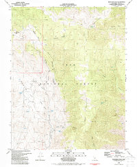
Editions of this 1982 Mazourka Peak Map
2 editions found
Other maps of this area

1907 · Mt. Whitney
USGS Topo · 1:125,000

1908 · Lida
USGS Topo · 1:250,000

1908 · Ballarat
USGS Topo · 1:250,000

1913 · Bishop
USGS Topo · 1:125,000

1913 · Lida
USGS Topo · 1:250,000

1913 · Ballarat
USGS Topo · 1:250,000

1919 · Mt. Whitney
USGS Topo · 1:125,000

1937 · Mt. Whitney
USGS Topo · 1:125,000

1947 · Mariposa
USGS Topo · 1:250,000

1948 · Death Valley
USGS Topo · 1:250,000