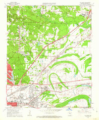
1961 Map of Mc Almont
USGS Topo · Published 1962About this map
North Little Rock and its expanding northern suburbs define this 1961 landscape as postwar residential development meets the industrial rail corridors of central Arkansas. The map reveals a transition from the established military footprint of Camp Joseph T Robinson to the planned neighborhoods of Sylvan Hills and Lakewood. Transportation is a central theme, with the Missouri Pacific and Rock Island railroads cutting across the terrain toward Jacksonville, while the Dark Hollow Interchange signals the rise of the modern highway system.
Find a feature on this map
75 named features on this map. Tap any name to fly to it.
Don’t see what you’re looking for? This feature index may not catch every label — zoom into the map to look around manually.
Map Details
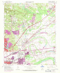
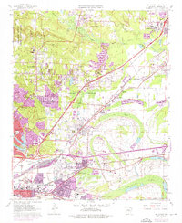
Editions of this 1961 Mc Almont Map
3 editions found
Other maps of this area

1891 · Little Rock
USGS Topo · 1:125,000

1893 · Little Rock
USGS Topo · 1:125,000

1935 · Mc Almont
USGS Topo · 1:24,000

1935 · Little Rock
USGS Topo · 1:24,000

1935 · Sweet Home
USGS Topo · 1:24,000

1935 · North Little Rock
USGS Topo · 1:24,000

1935 · Alexander
USGS Topo · 1:48,000

1941 · Alexander
USGS Topo · 1:62,500

1941 · Olmstead
USGS Topo · 1:31,680

1941 · Cabot
USGS Topo · 1:31,680
Featured Places
- North Little Rock, AR
- Jacksonville, AR
- Sherwood, AR
- Lakewood, North Little Rock
- Millers Crossing, Sherwood