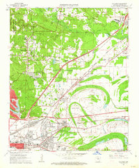
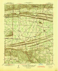
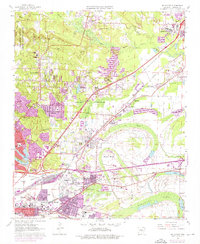
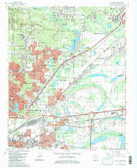
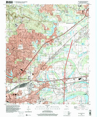
1961 Map of Mc Almont
USGS Topo · Published 1962This historical map portrays the area of Mc Almont in 1961, primarily covering Pulaski County. Featuring a scale of 1:24000, this map provides a highly detailed snapshot of the terrain, roads, buildings, counties, and historical landmarks in the Mc Almont region at the time. Published in 1962, it is one of 3 known editions of this map due to revisions or reprints.
Find a feature on this map
75 named features on this map. Tap any name to fly to it.
Don’t see what you’re looking for? This feature index may not catch every label — zoom into the map to look around manually.
Map Details
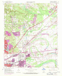
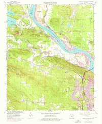
Editions of this 1961 Mc Almont Map
3 editions found
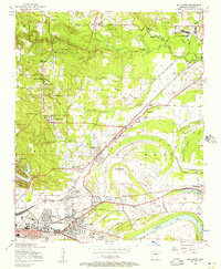
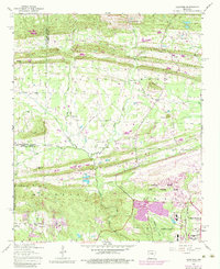
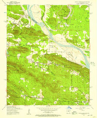
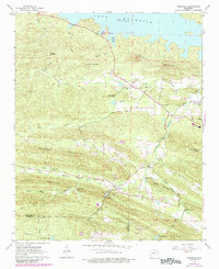
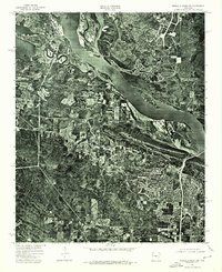
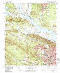
Historical Maps of Rose City Through Time
19 maps found
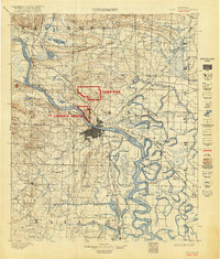
1893 Camp Pike
Pulaski County, AR
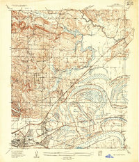
1935 Mc Almont
Pulaski County, AR
1941 Olmstead
Pulaski County, AR

1943 Pinnacle Mtn
Pulaski County, AR
1954 Mc Almont
Pulaski County, AR
1954 Olmstead
Pulaski County, AR
1954 Pinnacle Mountain
Pulaski County, AR
1961 Mc Almont
Pulaski County, AR
1961 Pinnacle Mountain
Pulaski County, AR
1963 Ferndale
Pulaski County, AR

1975 Mc Almont
Pulaski County, AR
1975 Pinnacle Mountain
Pulaski County, AR
1986 Mc Almont
Pulaski County, AR
1986 Pinnacle Mountain
Pulaski County, AR
1987 Olmstead
Pulaski County, AR
1994 Ferndale
Pulaski County, AR
1994 Mc Almont
Pulaski County, AR
1994 Pinnacle Mountain
Pulaski County, AR
1996 Olmstead
Pulaski County, AR
Featured Locations
- North Little Rock, AR
- Jacksonville, AR
- Sherwood, AR
- Millers Crossing, Sherwood
- Lakewood, North Little Rock