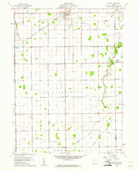
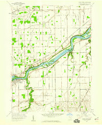
1960 Map of Mc Clure
USGS Topo · Published 1961About this map
The agricultural landscape of Mc Clure and its surrounding townships is meticulously detailed in this 1960 survey, showcasing a grid of rural roads and scattered homesteads. The New York Chicago and St Louis railroad cuts diagonally across the northern sections, serving as a primary transit artery through the village of Grelton and into Damascus township. Small community centers like Westhope and rural landmarks such as Bethany Chapel and Peace Ch reveal the social fabric of the Henry County countryside during this era.
Find a feature on this map
31 named features on this map. Tap any name to fly to it.
Don’t see what you’re looking for? This feature index may not catch every label — zoom into the map to look around manually.
Map Details
Editions of this 1960 Mc Clure Map
Other maps of this area

1908 · Ottawa
USGS Topo · 1:62,500

1908 · Napoleon
USGS Topo · 1:62,500

1909 · Mc Clure
USGS Topo · 1:62,500

1935 · Grand Rapids
USGS Topo · 1:24,000

1940 · Grand Rapids
USGS Topo · 1:31,680
1952 · Grand Rapids
USGS Topo · 1:24,000

1953 · Fort Wayne
USGS Topo · 1:250,000

1956 · Fort Wayne
USGS Topo · 1:250,000

1956 · Toledo
USGS Topo · 1:250,000
1958 · Grand Rapids
USGS Topo · 1:24,000