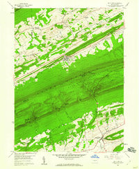
1959 Map of Mc Clure
USGS Topo · Published 1960About this map
Shade Mountain dominates the central landscape of this late 1950s survey, acting as a massive wooded barrier between the settlements of the north and south. In the northern valleys, the village of McClure sits along the foot of Firestone Ridge, while smaller rural clusters like Bannerville and Lowell are connected by a network of farm roads and winding runs. To the south, McAlisterville serves as a local hub near Lost Creek, surrounded by landmarks of rural life including the Township Sch and Hillside Cem.
Find a feature on this map
48 named features on this map. Tap any name to fly to it.
Don’t see what you’re looking for? This feature index may not catch every label — zoom into the map to look around manually.
Map Details
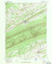
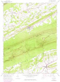
Editions of this 1959 Mc Clure Map
3 editions found
Other maps of this area

1907 · Millerstown
USGS Topo · 1:62,500

1925 · Mifflintown
USGS Topo · 1:48,000

1934 · Mifflintown
USGS Topo · 1:62,500

1937 · Mifflintown
USGS Topo · 1:62,500

1937 · Millheim
USGS Topo · 1:48,000

1938 · Mifflinburg
USGS Topo · 1:48,000

1941 · Millheim
USGS Topo · 1:62,500

1943 · Millerstown
USGS Topo · 1:62,500

1943 · Mifflinburg
USGS Topo · 1:62,500

1950 · Harrisburg
USGS Topo · 1:250,000
Featured Places
- Decatur Township, PA
- McClure, PA
- West Perry Township, PA
- Bannerville, West Beaver Township
- Spring Township, PA