
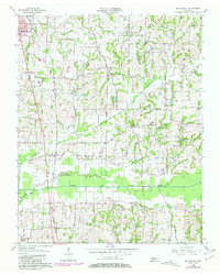
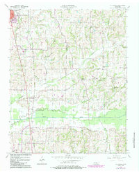
1956 Map of Mc Connell
USGS Topo · Published 1958About this map
The North Fork Obion River meanders across the southern portion of this landscape, creating a wide floodplain that separates the agricultural uplands of South Fulton from the smaller rural crossroads to the south. In the mid-1950s, the Illinois Central railroad served as a primary transportation corridor, running north-south through the settlement of McConnell. This rural Tennessee interior is defined by its network of community-centered landmarks, including the Chestnut Glade Sch and numerous country churches such as New Hope Ch and Walnut Grove Ch. The land is dissected by several drainage systems, most notably Richland Creek and Trouble Creek, which dictate the placement of local roads and farmsteads. A significant number of small family and community burial grounds, such as McFall Cem and Pounds Cem, provide valuable points of reference for genealogical research in this part of Weakley County.
Find a feature on this map
30 named features on this map. Tap any name to fly to it.
Don’t see what you’re looking for? This feature index may not catch every label — zoom into the map to look around manually.
Map Details
Editions of this 1956 Mc Connell Map
3 editions found
Other maps of this area

1950 · Martin
USGS Topo · 1:24,000

1952 · Crutchfield
USGS Topo · 1:24,000

1952 · Dresden
USGS Topo · 1:24,000

1952 · Cuba
USGS Topo · 1:24,000

1952 · Water Valley
USGS Topo · 1:24,000

1952 · Mayfield
USGS Topo · 1:62,500

1952 · Water Valley
USGS Topo · 1:62,500

1956 · Gardner
USGS Topo · 1:24,000

1956 · Harris
USGS Topo · 1:24,000

1956 · Latham
USGS Topo · 1:24,000