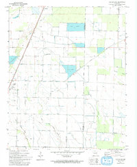
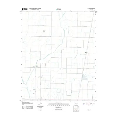
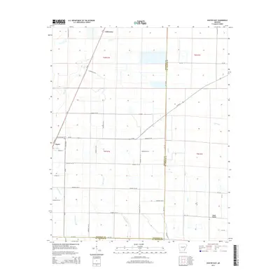
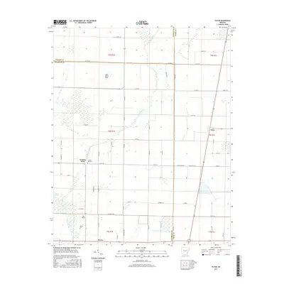
1980 Map of Mc Crory
USGS Topo · Published 1980About this map
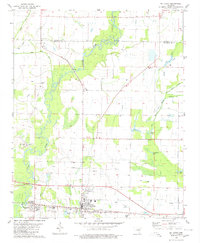
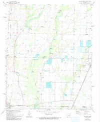
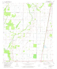
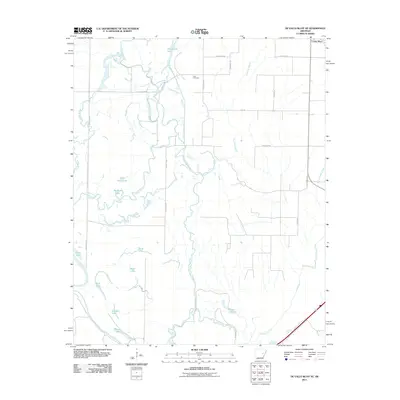
The town of McCrory serves as a central hub in this section of Woodruff County, defined by its position along the Missouri Pacific railroad. To the west, the community of Patterson sits near the winding course of the Cache River, an area characterized by many bayous and oxbow lakes such as Hurricane Lake and White Lake. The landscape is a mix of agricultural fields and low-lying wetlands, dotted with small country churches and family burial grounds including Fakes Chapel Cem and the Morning View Ch Cem.
Find a feature on this map
30 named features on this map. Tap any name to fly to it.
Don’t see what you’re looking for? This feature index may not catch every label — zoom into the map to look around manually.
Map Details
Editions of this 1980 Mc Crory Map
This is the sole edition of this map. No revisions or reprints were ever made.
Historical Maps of McCrory Through Time
37 maps found
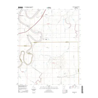
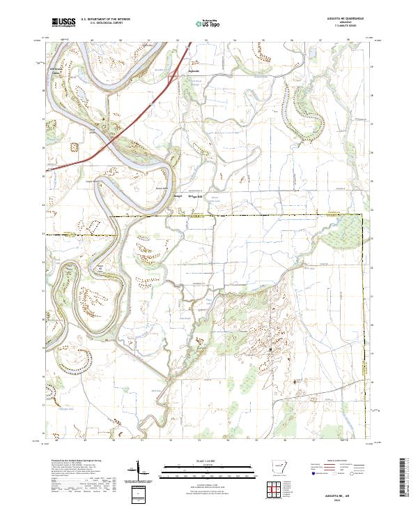
1967 Augusta NE
Woodruff County, AR
1968 De Valls Bluff NE
Woodruff County, AR
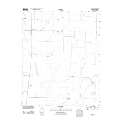
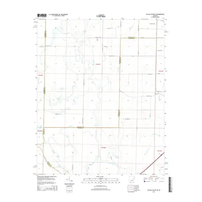
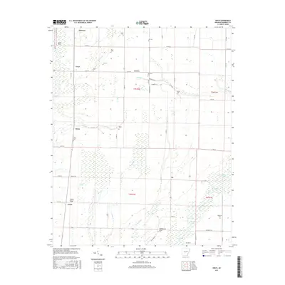
1971 Grays
Woodruff County, AR
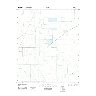
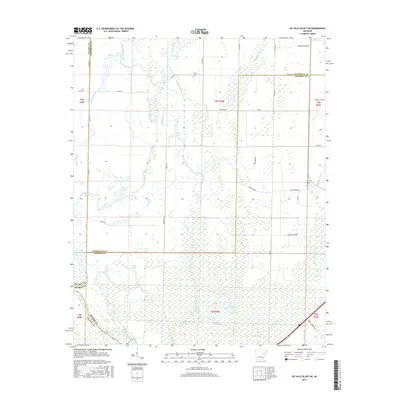
1971 Hunter East
Woodruff County, AR
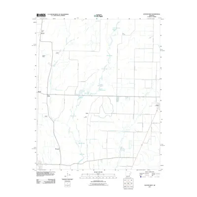
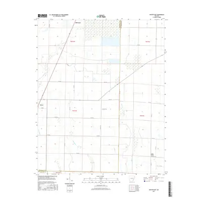
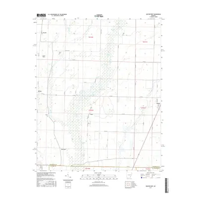
1971 Hunter West
Woodruff County, AR
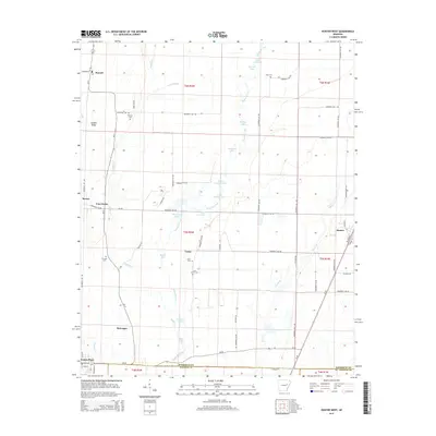
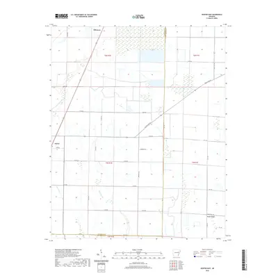
1980 Mc Crory
Woodruff County, AR
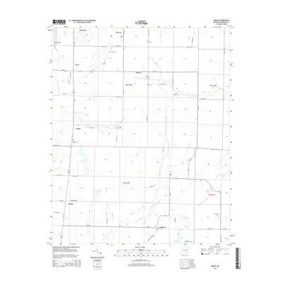
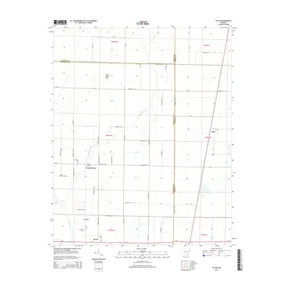
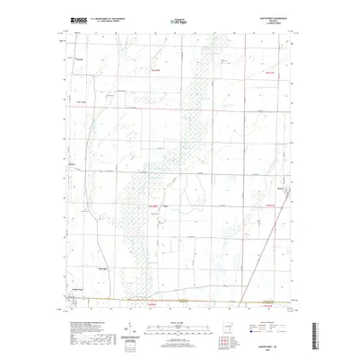
1980 Tilton
Woodruff County, AR
2011 Augusta NE
Woodruff County, AR
2011 De Valls Bluff NE
Woodruff County, AR
2011 Grays
Woodruff County, AR
2011 Hunter East
Woodruff County, AR
2011 Hunter West
Woodruff County, AR
2011 Tilton
Woodruff County, AR
2014 Augusta NE
Woodruff County, AR
2014 De Valls Bluff NE
Woodruff County, AR
2014 Grays
Woodruff County, AR
2014 Hunter East
Woodruff County, AR
2014 Hunter West
Woodruff County, AR
2014 Tilton
Woodruff County, AR
2017 Augusta NE
Woodruff County, AR
2017 De Valls Bluff NE
Woodruff County, AR
2017 Grays
Woodruff County, AR
2017 Hunter East
Woodruff County, AR
2017 Hunter West
Woodruff County, AR
2017 Tilton
Woodruff County, AR
2020 Augusta NE
Woodruff County, AR
2020 De Valls Bluff NE
Woodruff County, AR
2020 Grays
Woodruff County, AR
2020 Hunter East
Woodruff County, AR
2020 Hunter West
Woodruff County, AR
2020 Tilton
Woodruff County, AR
2024 Augusta NE
Woodruff County, AR
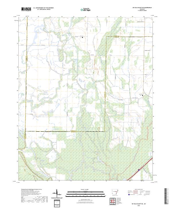
2024 De Valls Bluff NE
Woodruff County, AR
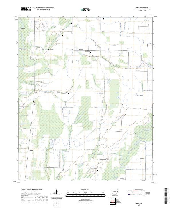
2024 Grays
Woodruff County, AR
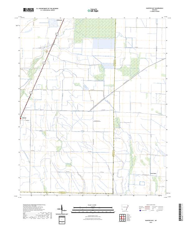
2024 Hunter East
Woodruff County, AR
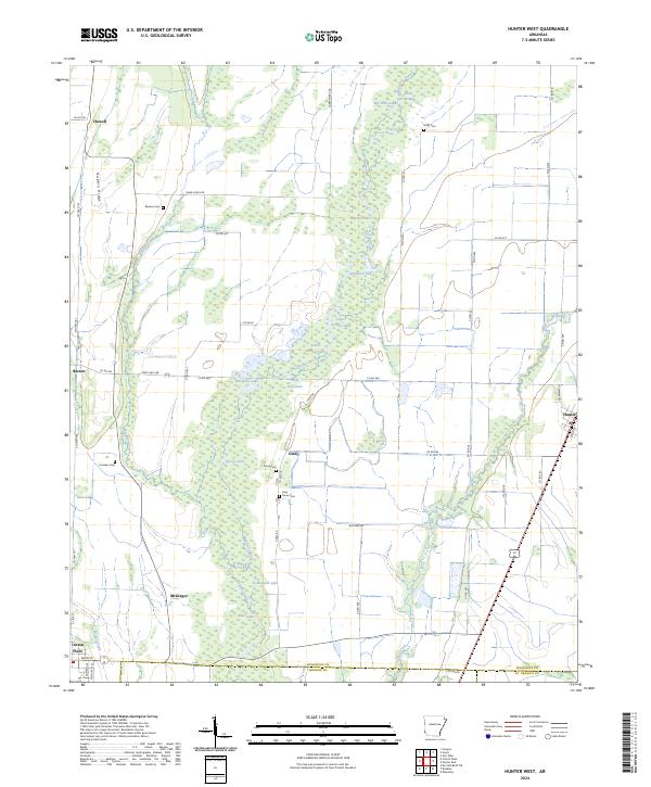
2024 Hunter West
Woodruff County, AR
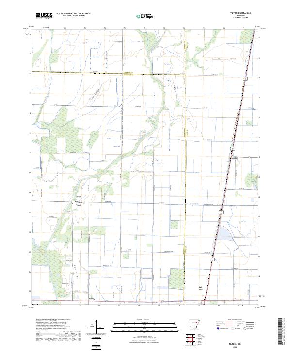
2024 Tilton
Woodruff County, AR