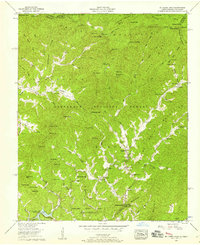
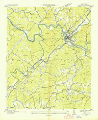
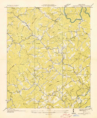
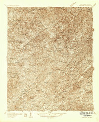
1957 Map of Mc Daniel Bald
USGS Topo · Published 1958About this map
McDaniel Bald and the surrounding Unicoi Mountains define this high-elevation landscape along the border of the Cherokee National Forest and Nantahala National Forest. The 1950s terrain is characterized by a network of steep ridges and gaps, where the Joe Brown Highway winds past remote settlements like Grandview. Local history is centered on scattered mountain congregations, including Mt Nebo Church, Hanging Dog Ch, and the combined White Church School.
Find a feature on this map
100 named features on this map. Tap any name to fly to it.
Don’t see what you’re looking for? This feature index may not catch every label — zoom into the map to look around manually.
Map Details
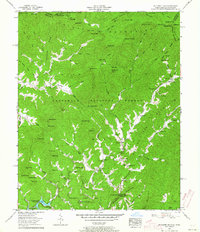
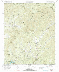
Editions of this 1957 Mc Daniel Bald Map
3 editions found
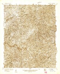
Other maps of this area

1893 · Murphy
USGS Topo · 1:125,000

1914 · Murphy
USGS Topo · 1:125,000

1927 · Big Junction
USGS Topo · 1:24,000
1933 · Haw Knob
USGS Topo · 1:48,000

1933 · Bald River Falls
USGS Topo · 1:24,000
1934 · Murphy
USGS Topo · 1:24,000
1934 · Persimmon Creek
USGS Topo · 1:24,000

1934 · McDaniel Bald
USGS Topo · 1:24,000

1934 · Unaka
USGS Topo · 1:24,000
1934 · Murphy
USGS Topo · 1:48,000