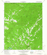
1957 Map of Mc Daniel Bald
USGS Topo · Published 1964About this map
The Nantahala National Forest and Cherokee National Forest meet at the state line in this mid-century survey of the North Carolina and Tennessee border. The landscape is defined by the high peaks of the Cheoah Mountains, including McDaniel Bald and Hangover Top, dropping down into the valley of Hanging Dog Creek. Significant for local historians is the Henson Donation tract within the Cherokee Indian Land, which borders the upper reaches of Hiwassee Lake.
Find a feature on this map
87 named features on this map. Tap any name to fly to it.
Don’t see what you’re looking for? This feature index may not catch every label — zoom into the map to look around manually.
Map Details
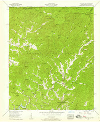
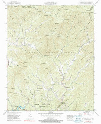
Editions of this 1957 Mc Daniel Bald Map
3 editions found
Other maps of this area

1893 · Murphy
USGS Topo · 1:125,000

1914 · Murphy
USGS Topo · 1:125,000

1927 · Big Junction
USGS Topo · 1:24,000

1933 · Haw Knob
USGS Topo · 1:48,000

1933 · Bald River Falls
USGS Topo · 1:24,000

1934 · Murphy
USGS Topo · 1:24,000

1934 · Persimmon Creek
USGS Topo · 1:24,000

1934 · McDaniel Bald
USGS Topo · 1:24,000

1934 · Unaka
USGS Topo · 1:24,000

1934 · Murphy
USGS Topo · 1:48,000