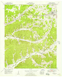
1952 Map of Mc Ewen
USGS Topo · Published 1957About this map
McEwen and the nearby settlement of Gorman anchor this mid-century portrait of central Tennessee, defined by a complex network of hollows and ridges. The Nashville Chattanooga and St Louis Railway and the Broadway of America highway serve as the primary east-west arteries, cutting through the landscape alongside Trace Creek. The terrain is characterized by deeply incised drainages like Enoch Hollow, Mullinax Hollow, and Pumpkin Hollow, which dictate the placement of rural homesteads and family cemeteries.
Find a feature on this map
75 named features on this map. Tap any name to fly to it.
Don’t see what you’re looking for? This feature index may not catch every label — zoom into the map to look around manually.
Map Details
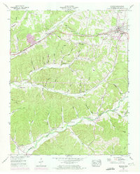
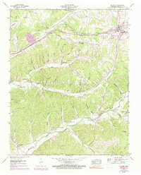
Editions of this 1952 Mc Ewen Map
3 editions found
Other maps of this area

1936 · Gorman
USGS Topo · 1:24,000

1936 · Hurricane Mills
USGS Topo · 1:24,000

1936 · Woolworth
USGS Topo · 1:24,000

1936 · Ruskin
USGS Topo · 1:24,000

1936 · Bucksnort
USGS Topo · 1:24,000

1936 · Halls Creek
USGS Topo · 1:24,000

1936 · Spot
USGS Topo · 1:24,000

1936 · Waverly
USGS Topo · 1:24,000

1936 · Tennessee City
USGS Topo · 1:24,000

1950 · Halls Creek
USGS Topo · 1:24,000