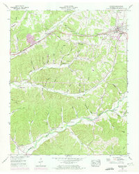
1952 Map of Mc Ewen
USGS Topo · Published 1974About this map
McEwen sits as a central hub on this mid-century survey, defined by its position along the Louisville and Nashville railroad and the Broadway of America. The landscape transitions from the developed corridor around Gorman and the Humphreys County Airfield into a dense network of hollows and ridges. This area is heavily marked by family history, with numerous small burial grounds such as Bennyfield Cem, Choate Cem, and Anderson Cem scattered across the hilly terrain.
Find a feature on this map
70 named features on this map. Tap any name to fly to it.
Don’t see what you’re looking for? This feature index may not catch every label — zoom into the map to look around manually.
Map Details
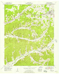
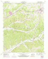
Editions of this 1952 Mc Ewen Map
3 editions found
Other maps of this area

1936 · Gorman
USGS Topo · 1:24,000

1936 · Hurricane Mills
USGS Topo · 1:24,000

1936 · Woolworth
USGS Topo · 1:24,000

1936 · Ruskin
USGS Topo · 1:24,000

1936 · Bucksnort
USGS Topo · 1:24,000

1936 · Halls Creek
USGS Topo · 1:24,000

1936 · Spot
USGS Topo · 1:24,000

1936 · Waverly
USGS Topo · 1:24,000

1936 · Tennessee City
USGS Topo · 1:24,000

1950 · Halls Creek
USGS Topo · 1:24,000