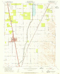
1954 Map of Mc Farland
USGS Topo · Published 1955About this map
Agricultural development and industrial infrastructure define this mid-century portrait of Kern County, where the Friant - Kern Canal and Galloway Canal cut through a grid of section lines and orchards. The town of McFarland serves as the central hub, situated along the Southern Pacific railroad and surrounded by named avenues like Airport Ave and Sherwood Ave. A unique local industry is noted with a Winery near the small settlement of Vinland, while the presence of a High School and the outlying Jasmin Sch reflects the social structure of this rural landscape. The map captures a moment when traditional rail stops like Hollis, Zentner, and Calico remained distinct points on the map alongside growing aviation facilities like the Delano Airport.
Find a feature on this map
36 named features on this map. Tap any name to fly to it.
Don’t see what you’re looking for? This feature index may not catch every label — zoom into the map to look around manually.
Map Details
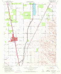
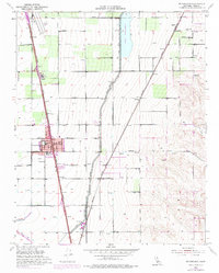
Editions of this 1954 Mc Farland Map
3 editions found
Other maps of this area

1906 · Bakersfield
USGS Topo · 1:62,500

1927 · McFarland
USGS Topo · 1:31,680

1929 · Delano
USGS Topo · 1:31,680

1929 · Richgrove
USGS Topo · 1:31,680

1929 · Stone
USGS Topo · 1:31,680

1930 · McFarland
USGS Topo · 1:31,680

1930 · Wasco
USGS Topo · 1:31,680

1930 · Pond
USGS Topo · 1:31,680

1930 · Famoso
USGS Topo · 1:31,680

1931 · Deepwell Ranch
USGS Topo · 1:31,680