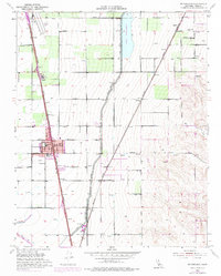
1954 Map of Mc Farland
USGS Topo · Published 1975About this map
The Southern Pacific railroad corridor serves as the industrial spine for this portion of the San Joaquin Valley, connecting the agricultural hubs of McFarland and Vinland. This mid-century landscape is defined by the critical infrastructure of the Friant-Kern Canal and Lake Woollomes, which supported the region's transition into a highly productive farming district. Beyond the larger towns, smaller settlements and stops like Jasmin, Zentner, and Hollis appear alongside family-named farm roads, illustrating the dense network of rural development before late-20th-century consolidation.
Find a feature on this map
37 named features on this map. Tap any name to fly to it.
Don’t see what you’re looking for? This feature index may not catch every label — zoom into the map to look around manually.
Map Details
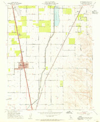
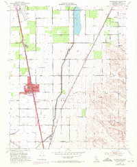
Editions of this 1954 Mc Farland Map
3 editions found
Other maps of this area

1906 · Bakersfield
USGS Topo · 1:62,500

1927 · McFarland
USGS Topo · 1:31,680

1929 · Delano
USGS Topo · 1:31,680

1929 · Richgrove
USGS Topo · 1:31,680

1929 · Stone
USGS Topo · 1:31,680

1930 · McFarland
USGS Topo · 1:31,680

1930 · Wasco
USGS Topo · 1:31,680

1930 · Pond
USGS Topo · 1:31,680

1930 · Famoso
USGS Topo · 1:31,680

1931 · Deepwell Ranch
USGS Topo · 1:31,680