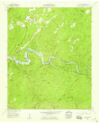
1957 Map of Mc Farland
USGS Topo · Published 1959About this map
Springtown (Servilla) and the riverside settlement of McFarland serve as the primary human anchors in this mid-century portrait of the Hiwassee River valley. The landscape is defined by the industrial infrastructure of the era, most notably the Louisville and Nashville Railroad which follows the river's winding course through The Narrows. Technical achievements like the Apalachia Tunnel and the Apalachia Powerhouse reflect the influence of the Tennessee Valley Authority on the region's development and topography. In the surrounding hills of the Cherokee National Forest, numerous family cemeteries such as Morgan Cem, Burchfield Cem, and Campground Cem remain, alongside landmarks like Maggies Mill on Spring Creek. The map details the complex river morphology, including Cane Island and Big Island, while highlighting the transition from deep forest ridges to the small communities of Polk and Monroe counties.
Find a feature on this map
87 named features on this map. Tap any name to fly to it.
Don’t see what you’re looking for? This feature index may not catch every label — zoom into the map to look around manually.
Map Details
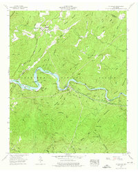
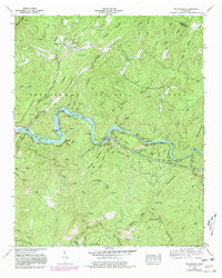
Editions of this 1957 Mc Farland Map
3 editions found
Other maps of this area

1886 · Cleveland
USGS Topo · 1:125,000

1892 · Cleveland
USGS Topo · 1:125,000

1893 · Murphy
USGS Topo · 1:125,000

1895 · Cleveland
USGS Topo · 1:125,000

1901 · Cleveland
USGS Topo · 1:125,000

1914 · Murphy
USGS Topo · 1:125,000

1934 · Mecca
USGS Topo · 1:24,000

1934 · Tellico Plains
USGS Topo · 1:24,000

1935 · Tellico
USGS Topo · 1:48,000
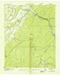
1935 · Oswald Bald
USGS Topo · 1:24,000