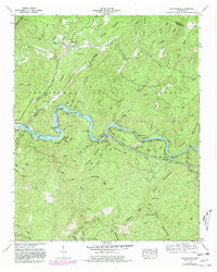
1957 Map of Mc Farland
USGS Topo · Published 1980About this map
The Hiwassee River carves a dramatic path through the mountains of Polk and Monroe Counties, anchoring a landscape defined by the Louisville and Nashville Railroad and the industry of the Apalachia Powerhouse. This mid-century Tennessee Valley Authority survey shows the river winding past significant islands such as Big Island and Cane Island near the sharp bend of The Narrows. Small mountain communities like Reliance, Springtown, and Servilla are documented alongside their local institutions, including Corinth Ch and Maggies Mill.
Find a feature on this map
84 named features on this map. Tap any name to fly to it.
Don’t see what you’re looking for? This feature index may not catch every label — zoom into the map to look around manually.
Map Details
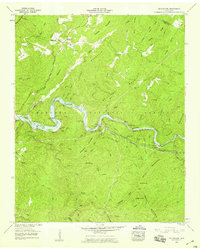
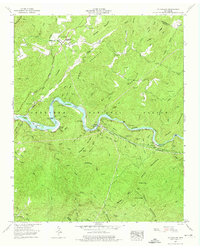
Editions of this 1957 Mc Farland Map
3 editions found
Other maps of this area

1886 · Cleveland
USGS Topo · 1:125,000

1892 · Cleveland
USGS Topo · 1:125,000

1893 · Murphy
USGS Topo · 1:125,000

1895 · Cleveland
USGS Topo · 1:125,000

1901 · Cleveland
USGS Topo · 1:125,000

1914 · Murphy
USGS Topo · 1:125,000

1934 · Mecca
USGS Topo · 1:24,000

1934 · Tellico Plains
USGS Topo · 1:24,000

1935 · Tellico
USGS Topo · 1:48,000
1935 · Oswald Bald
USGS Topo · 1:24,000