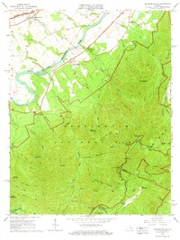
1965 Map of Mc Gaheysville
USGS Topo · Published 1966About this map
Mcgaheysville and its surrounding agricultural valley transition abruptly into the steep elevations of Shenandoah National Park in this mid-1960s study of the Blue Ridge mountains. The Shenandoah River South Fork winds through the northwest, shadowed by the Chesapeake & Ohio RR and Norfolk and Western rail lines. This confluence of rail and river supported local settlements like Island Ford and Rocky Bar before the terrain rises into the protected wilderness. Within the park, the Appalachian Trail follows the high ridges, passing landmarks such as Rocky Mount and Lewis Peak. Evidence of the area's earlier human footprint is visible through the presence of Mines on the lower slopes of Brown Mountain and family-focused sites like Mt Olivet Cem. The map provides a detailed view of the Rockingham and Albemarle county lines as they traverse the high peaks of the Blue Ridge.
Find a feature on this map
53 named features on this map. Tap any name to fly to it.
Don’t see what you’re looking for? This feature index may not catch every label — zoom into the map to look around manually.
Map Details
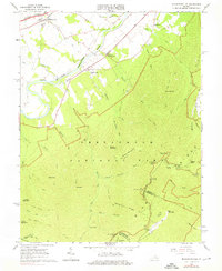
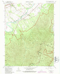
Editions of this 1965 Mc Gaheysville Map
3 editions found
Other maps of this area

1892 · Harrisonburg
USGS Topo · 1:125,000

1931 · University
USGS Topo · 1:62,500

1934 · Waynesboro
USGS Topo · 1:48,000

1935 · University
USGS Topo · 1:62,500

1937 · Elkton
USGS Topo · 1:62,500

1939 · Waynesboro
USGS Topo · 1:62,500

1941 · Harrisonburg
USGS Topo · 1:62,500

1943 · Harrisonburg
USGS Topo · 1:62,500

1949 · Charlottesville
USGS Topo · 1:250,000

1956 · Charlottesville
USGS Topo · 1:250,000