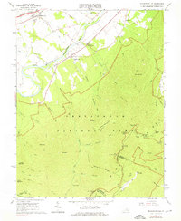
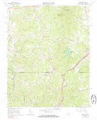
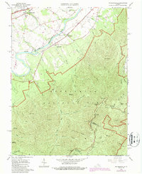
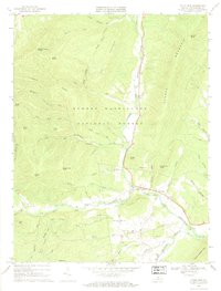
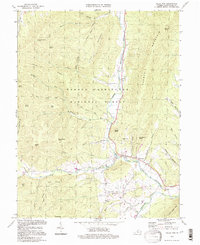
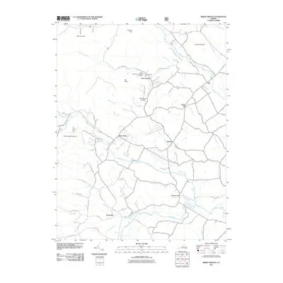
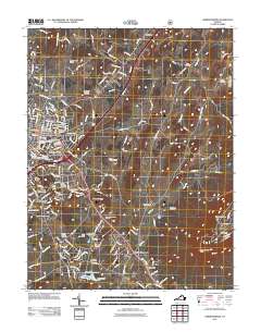
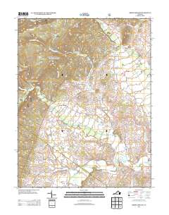
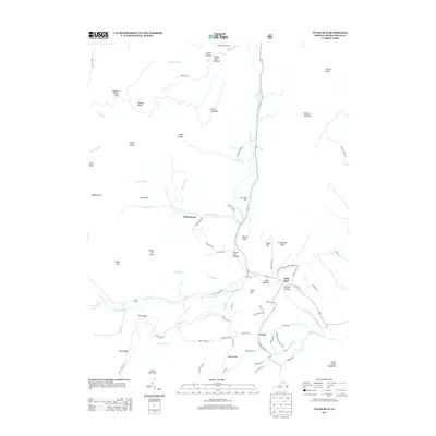
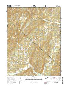
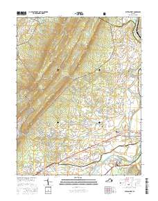
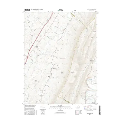
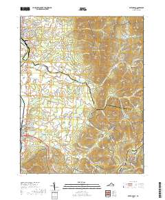
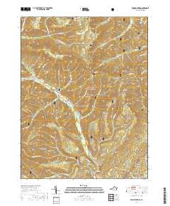
1965 Map of Mc Gaheysville
USGS Topo · Published 1976About this map
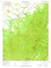
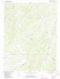
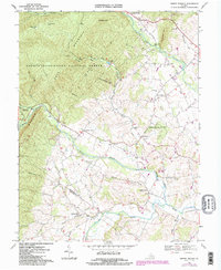
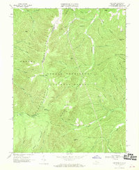
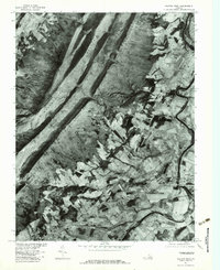
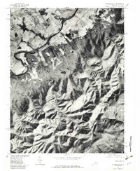
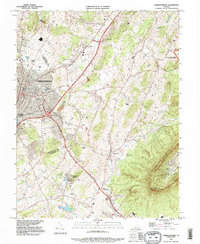
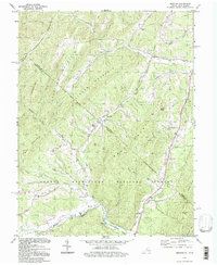
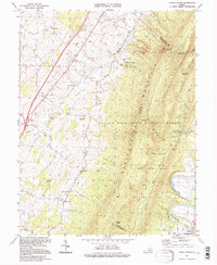
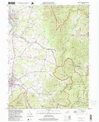
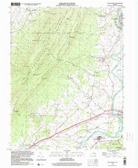
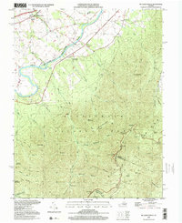
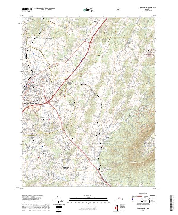
South Fork Shenandoah River winds through the valley floor, serving as a primary corridor for the Norfolk and Western and Chesapeake & Ohio RR. The village of McGaheysville and nearby Mt Olivet Cem anchor the northwestern corner, while the settlements of Island Ford, Rocky Bar, and Berrytown mark the transition from agricultural bottomlands to the steep rises of the Blue Ridge. To the east, the landscape changes abruptly as it enters Shenandoah National Park, where the high-altitude route of Skyline Drive traces the ridgeline. This section of the park is defined by numerous overlooks, such as the Loft Mountain Overlook and Big Run Overlook, which offer vantage points over deep drainages like Eppert Hollow and Big Run. For historians and genealogists, the map preserves the location of remote backcountry infrastructure including Big Run Shelter, the Doyles River Cabin, and long-standing trails like the Appalachian Trail and Rocky Mount Trail.
Find a feature on this map
61 named features on this map. Tap any name to fly to it.
Don’t see what you’re looking for? This feature index may not catch every label — zoom into the map to look around manually.
Map Details
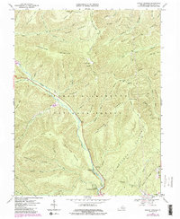
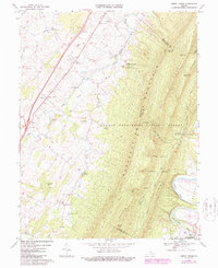
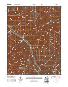
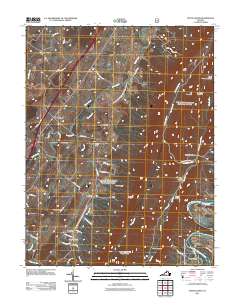
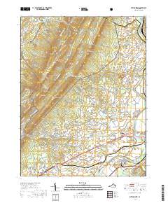
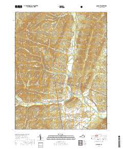
Editions of this 1965 Mc Gaheysville Map
3 editions found
Historical Maps of McGaheysville Through Time
71 maps found
1892 Harrisonburg
Rockingham County, VA

1941 Harrisonburg
Rockingham County, VA

1943 Harrisonburg
Rockingham County, VA
1964 Harrisonburg
Rockingham County, VA
1964 Price
Rockingham County, VA
1964 Spray
Rockingham County, VA
1965 Elkton East
Rockingham County, VA
1965 Elkton West
Rockingham County, VA
1965 Mc Gaheysville
Rockingham County, VA
1967 Bergton
Rockingham County, VA
1967 Briery Branch
Rockingham County, VA
1967 Cow Knob
Rockingham County, VA
1967 Fulks Run
Rockingham County, VA
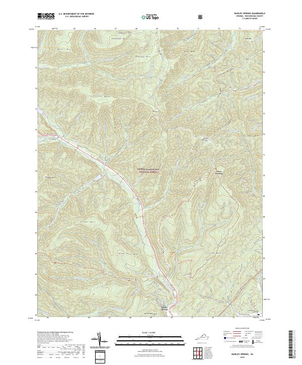
1967 Rawley Springs
Rockingham County, VA
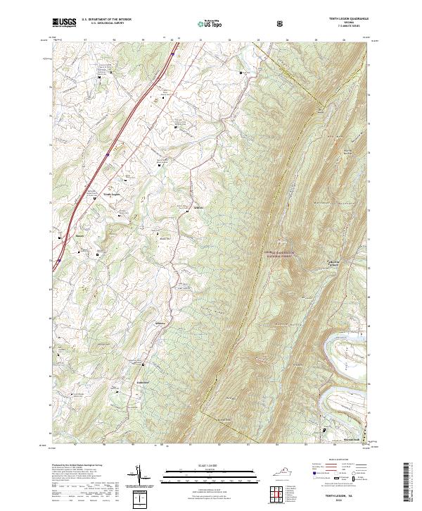
1967 Tenth Legion
Rockingham County, VA
1977 Elkton East
Rockingham County, VA
1977 Elkton West
Rockingham County, VA
1977 Mc Gaheysville
Rockingham County, VA
1989 Harrisonburg
Rockingham County, VA
1994 Bergton
Rockingham County, VA
1994 Fulks Run
Rockingham County, VA
1994 Tenth Legion
Rockingham County, VA
1997 Elkton East
Rockingham County, VA
1999 Elkton West
Rockingham County, VA
1999 Mc Gaheysville
Rockingham County, VA
2002 Harrisonburg
Rockingham County, VA
2010 Elkton East
Rockingham County, VA
2011 Bergton
Rockingham County, VA
2011 Briery Branch
Rockingham County, VA
2011 Cow Knob
Rockingham County, VA
2011 Elkton West
Rockingham County, VA
2011 Fulks Run
Rockingham County, VA
2011 Harrisonburg
Rockingham County, VA
2011 Rawley Springs
Rockingham County, VA
2011 Tenth Legion
Rockingham County, VA
2013 Bergton
Rockingham County, VA
2013 Briery Branch
Rockingham County, VA
2013 Cow Knob
Rockingham County, VA
2013 Elkton East
Rockingham County, VA
2013 Elkton West
Rockingham County, VA
2013 Fulks Run
Rockingham County, VA
2013 Harrisonburg
Rockingham County, VA
2013 Rawley Springs
Rockingham County, VA
2013 Tenth Legion
Rockingham County, VA
2016 Bergton
Rockingham County, VA
2016 Briery Branch
Rockingham County, VA
2016 Cow Knob
Rockingham County, VA
2016 Elkton East
Rockingham County, VA
2016 Elkton West
Rockingham County, VA
2016 Fulks Run
Rockingham County, VA
2016 Harrisonburg
Rockingham County, VA
2016 Rawley Springs
Rockingham County, VA
2016 Tenth Legion
Rockingham County, VA
2019 Bergton
Rockingham County, VA
2019 Briery Branch
Rockingham County, VA
2019 Cow Knob
Rockingham County, VA
2019 Elkton East
Rockingham County, VA
2019 Elkton West
Rockingham County, VA
2019 Fulks Run
Rockingham County, VA
2019 Harrisonburg
Rockingham County, VA
2019 Rawley Springs
Rockingham County, VA
2019 Tenth Legion
Rockingham County, VA
2022 Bergton
Rockingham County, VA
2022 Briery Branch
Rockingham County, VA
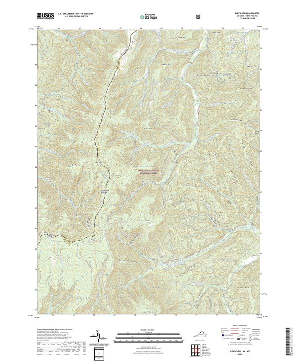
2022 Cow Knob
Rockingham County, VA
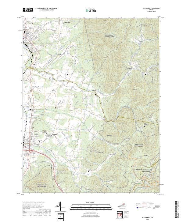
2022 Elkton East
Rockingham County, VA
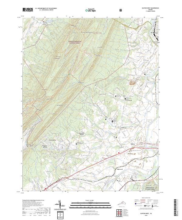
2022 Elkton West
Rockingham County, VA
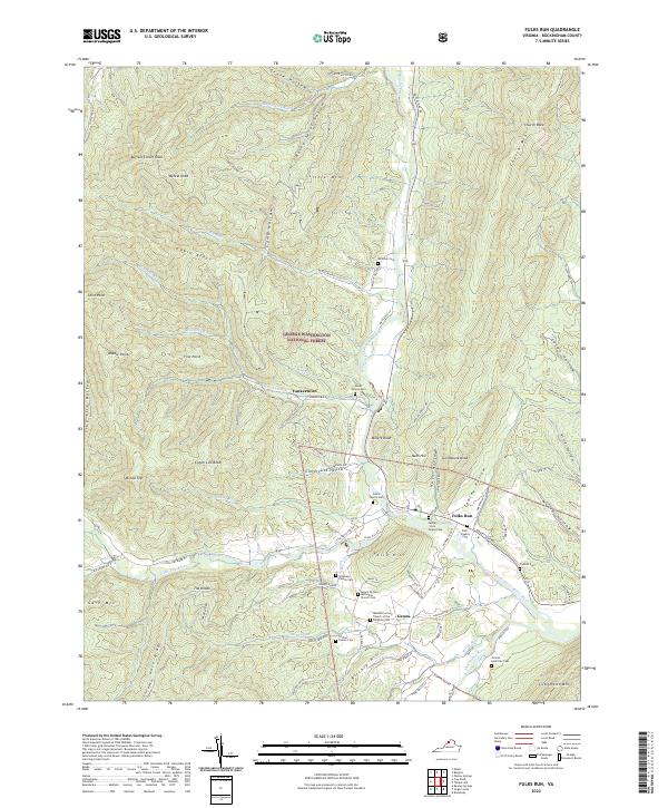
2022 Fulks Run
Rockingham County, VA
2022 Harrisonburg
Rockingham County, VA
2022 Rawley Springs
Rockingham County, VA
2022 Tenth Legion
Rockingham County, VA