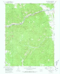
1980 Map of Mc Intyre Hills
USGS Topo · Published 1981About this map
The Arkansas River carves a dramatic corridor through the Mc Intyre Hills in this 1980 survey of Fremont County. This industrial and geographic artery is dominated by the Denver and Rio Grande Western railroad, which follows the river's northern bank through the canyon. Key rail infrastructure like Parkdale Siding and the station at Spikebuck highlight the importance of this transportation route for moving materials out of the central Colorado mountains.
Find a feature on this map
37 named features on this map. Tap any name to fly to it.
Don’t see what you’re looking for? This feature index may not catch every label — zoom into the map to look around manually.
Map Details
Editions of this 1980 Mc Intyre Hills Map
2 editions found
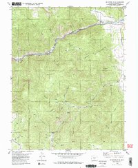
Other maps of this area

1889 · Canon City
USGS Topo · 1:125,000

1892 · Canon City
USGS Topo · 1:125,000

1894 · Pikes Peak
USGS Topo · 1:125,000

1901 · Pikes Peak
USGS Topo · 1:125,000

1942 · Cover Mtn.
USGS Topo · 1:62,500

1948 · Cover Mtn.
USGS Topo · 1:62,500

1954 · Pueblo
USGS Topo · 1:250,000

1957 · Pueblo
USGS Topo · 1:250,000

1958 · Pueblo
USGS Topo · 1:250,000

1959 · Black Mountain
USGS Topo · 1:62,500