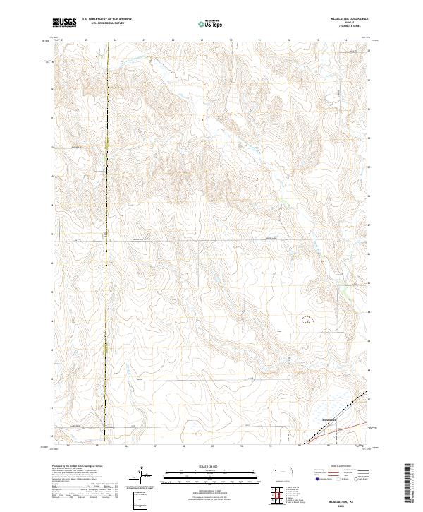
2022 Map of McAllaster
USGS Topo · Published 2022About this map
The N Fork Smoky Hill River carves a winding path through the high plains of western Kansas, defining the topographic character of this Logan County landscape. Near the southern edge of the sheet, the settlement of McAllaster sits as a primary point of reference along the local transport network. This 2022 survey captures the expansive rural grid typical of the region, where numerous section roads like Co RD 150 and Co RD 100 intersect with local landmarks such as Eagle Eye and Zest. The terrain is further dissected by intermittent waterways including Sand Cr and Turkey Cr, which highlight the drainage patterns feeding into the larger river valley. The map also delineates the border between Wallace Co and Logan Co, illustrating how these administrative boundaries follow the township and range system across the open prairie.
Find a feature on this map
25 named features on this map. Tap any name to fly to it.
Don’t see what you’re looking for? This feature index may not catch every label — zoom into the map to look around manually.
Map Details
Editions of this 2022 McAllaster Map
This is the sole edition of this map. No revisions or reprints were ever made.
Other maps of this area

1954 · Goodland
USGS Topo · 1:250,000

1955 · Scott City
USGS Topo · 1:250,000

1956 · Goodland
USGS Topo · 1:250,000

1957 · Goodland
USGS Topo · 1:250,000

1958 · Scott City
USGS Topo · 1:250,000

1959 · Wallace
USGS Topo · 1:62,500

1959 · Harris Draw
USGS Topo · 1:62,500

1969 · Mc Allaster NW
USGS Topo · 1:24,000

1969 · Russell Springs 2 NW
USGS Topo · 1:24,000

1969 · Mc Allaster SE
USGS Topo · 1:24,000