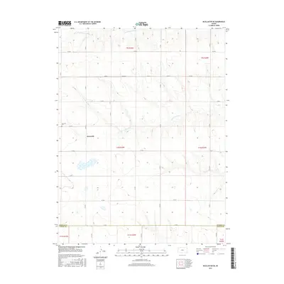
2015 Map of McAllaster NE
USGS Topo · Published 2015About this map
Brownville and its surrounding agricultural lands define this section of the High Plains, situated where the Thomas Co and Logan Co line divides the landscape. The geography is shaped by the upper reaches of two major drainage systems: the S Fork Solomon River crosses the northern sections, while the S Fork Saline River meanders through the central portion of the quadrangle. For those researching local families, the Brownville Cem stands as a primary landmark just west of the main settlement area. The map reveals a rigid section-line road network, including arterial routes like Co Rd H and Co Rd A, which illustrate the enduring influence of the Public Land Survey System on Kansas land use and travel patterns.
Find a feature on this map
29 named features on this map. Tap any name to fly to it.
Don’t see what you’re looking for? This feature index may not catch every label — zoom into the map to look around manually.
Map Details
Editions of this 2015 McAllaster NE Map
This is the sole edition of this map. No revisions or reprints were ever made.
Other maps of this area

1943 · Colby
USGS Topo · 1:62,500

1954 · Goodland
USGS Topo · 1:250,000

1956 · Goodland
USGS Topo · 1:250,000

1957 · Goodland
USGS Topo · 1:250,000

1966 · Brewster
USGS Topo · 1:24,000

1966 · Brewster SE
USGS Topo · 1:24,000

1967 · Colby SW
USGS Topo · 1:24,000

1969 · Mc Allaster NW
USGS Topo · 1:24,000

1969 · Mc Allaster SE
USGS Topo · 1:24,000

1969 · Mc Allaster NE
USGS Topo · 1:24,000