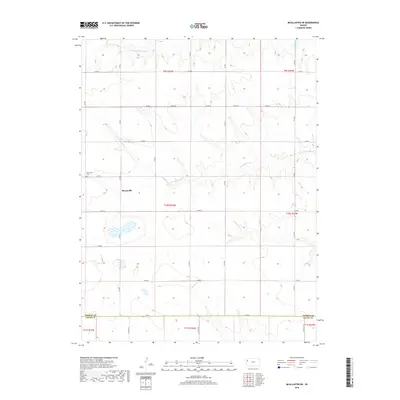
2018 Map of McAllaster NE
USGS Topo · Published 2018About this map
Brownville and its surrounding agricultural lands are defined by the subtle drainage patterns of the S Fork Solomon River to the north and the S Fork Saline River cutting through the central sections. This 2018 survey documents a region where the high plains landscape is organized by a strict sectional grid, with local travel dictated by a network of county roads including Co RD E and Co RD 5. Genealogists and local historians can pinpoint the location of the Brownville Cem, a primary landmark for tracing family roots in this rural community. The map also delineates the jurisdictional boundary between Thomas Co and Logan Co along its southern edge, illustrating how the cadastral survey system continues to define the political and physical geography of western Kansas.
Find a feature on this map
30 named features on this map. Tap any name to fly to it.
Don’t see what you’re looking for? This feature index may not catch every label — zoom into the map to look around manually.
Map Details
Editions of this 2018 McAllaster NE Map
This is the sole edition of this map. No revisions or reprints were ever made.
Other maps of this area

1943 · Colby
USGS Topo · 1:62,500

1954 · Goodland
USGS Topo · 1:250,000

1956 · Goodland
USGS Topo · 1:250,000

1957 · Goodland
USGS Topo · 1:250,000

1966 · Brewster
USGS Topo · 1:24,000

1966 · Brewster SE
USGS Topo · 1:24,000

1967 · Colby SW
USGS Topo · 1:24,000

1969 · Mc Allaster NW
USGS Topo · 1:24,000

1969 · Mc Allaster SE
USGS Topo · 1:24,000

1969 · Mc Allaster NE
USGS Topo · 1:24,000