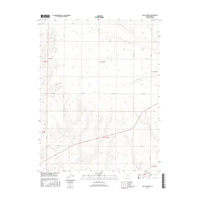
2015 Map of McAllaster SE
USGS Topo · Published 2015About this map
The N Fork Smoky Hill River carves through the southwestern corner of this Logan County landscape, establishing a riparian corridor against a backdrop of organized township boundaries. This 2015 survey reveals a pattern of rural planning where local roads like Co RD 170 and Co RD 190 provide a rigid framework for the high plains. Historically named points of interest such as Eagle Eye and Day Dream suggest a specific era of land naming or localized developments that stand apart from the surrounding agricultural grid.
Find a feature on this map
20 named features on this map. Tap any name to fly to it.
Don’t see what you’re looking for? This feature index may not catch every label — zoom into the map to look around manually.
Map Details
Editions of this 2015 McAllaster SE Map
This is the sole edition of this map. No revisions or reprints were ever made.
Other maps of this area

1954 · Goodland
USGS Topo · 1:250,000

1955 · Scott City
USGS Topo · 1:250,000

1956 · Goodland
USGS Topo · 1:250,000

1957 · Goodland
USGS Topo · 1:250,000

1958 · Scott City
USGS Topo · 1:250,000

1969 · Mc Allaster NW
USGS Topo · 1:24,000

1969 · Russell Springs 2 NW
USGS Topo · 1:24,000

1969 · Mc Allaster SE
USGS Topo · 1:24,000

1969 · Russell Springs 2 NE
USGS Topo · 1:24,000

1969 · Mc Allaster NE
USGS Topo · 1:24,000