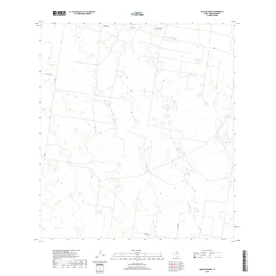
2019 Map of McAllen Ranch
USGS Topo · Published 2019About this map
McAllen Ranch occupies a significant portion of this South Texas landscape, illustrating the enduring cattle ranching heritage of the region. The map reveals a remote area dominated by large property boundaries and a sparse network of ranch roads and farm-to-market routes. Guadalupe Toreros Cem stands as a focal point for genealogical interest, located near the northern edge along FM 1017. The terrain is characterized by a series of depressions and small basins, serviced by localized routes like Guajolota Rd and Zimmer Rd. This survey documents the pastoral character of Hidalgo County in the late 2010s, showing a land use pattern largely unchanged since the early days of ranching, even as modern infrastructure like FM 681 provides connection to the broader Rio Grande Valley.
Find a feature on this map
7 named features on this map. Tap any name to fly to it.
Don’t see what you’re looking for? This feature index may not catch every label — zoom into the map to look around manually.
Map Details
Editions of this 2019 McAllen Ranch Map
This is the sole edition of this map. No revisions or reprints were ever made.
Other maps of this area

1939 · Linn
USGS Topo · 1:62,500

1939 · La Reforma
USGS Topo · 1:62,500

1940 · Monte Christo
USGS Topo · 1:62,500

1949 · Mc Allen
USGS Topo · 1:250,000

1954 · McAllen
USGS Topo · 1:250,000

1957 · Mc Allen
USGS Topo · 1:250,000

1962 · McAllen
USGS Topo · 1:250,000

1963 · Monte Christo
USGS Topo · 1:24,000

1963 · Linn NW
USGS Topo · 1:24,000
1963 · Faysvillle
USGS Topo · 1:24,000