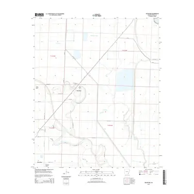
2014 Map of McArthur
USGS Topo · Published 2014About this map
McArthur sits at the intersection of local history and agricultural utility in this corner of Desha County. The landscape is defined by a dense network of water management features, including Middle Coon Bayou and Big Slough, which interact with artificial channels like Canal Number 13 and Canal Number 16. This drainage system is essential to the low-lying terrain, supporting the rural economy surrounding McGehee.
Find a feature on this map
39 named features on this map. Tap any name to fly to it.
Don’t see what you’re looking for? This feature index may not catch every label — zoom into the map to look around manually.
Map Details
Editions of this 2014 McArthur Map
This is the sole edition of this map. No revisions or reprints were ever made.
Other maps of this area

1933 · Lamont
USGS Topo · 1:62,500

1935 · Red Fork
USGS Topo · 1:62,500

1936 · McGehee
USGS Topo · 1:62,500

1937 · McGehee
USGS Topo · 1:62,500

1939 · Big Island
USGS Topo · 1:62,500

1939 · Lamont
USGS Topo · 1:62,500

1953 · Greenwood
USGS Topo · 1:250,000

1955 · McGehee
USGS Topo · 1:62,500

1956 · Greenwood
USGS Topo · 1:250,000
1969 · Winchester
USGS Topo · 1:24,000