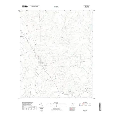
2019 Map of McCain
USGS Topo · Published 2019About this map
Montrose and Ashley Heights serve as central nodes in this landscape of the North Carolina Sandhills, where the headwaters of numerous creeks begin their descent through Hoke and Moore Counties. The map reveals a transition from the established settlement at Timberland to the newer thoroughfares like the All American Trail, which weaves through the wooded uplands. Significant hydrological features such as Rockfish Cr and Buffalo Cr define the drainage patterns, interspersed with smaller landmarks like McKeithan Pond. The presence of the Viking Airport in the southeast corner indicates the ongoing integration of modern infrastructure into this rural terrain, while family-named roads like Parks McMillan Dr and Booth Pond Rd provide important context for local genealogy and land use history.
Find a feature on this map
67 named features on this map. Tap any name to fly to it.
Don’t see what you’re looking for? This feature index may not catch every label — zoom into the map to look around manually.
Map Details
Editions of this 2019 McCain Map
This is the sole edition of this map. No revisions or reprints were ever made.
Other maps of this area

1948 · Southern Pines
USGS Topo · 1:62,500

1948 · Clifdale
USGS Topo · 1:62,500

1948 · Pinebluff
USGS Topo · 1:24,000

1948 · Nicholson Creek
USGS Topo · 1:24,000

1948 · Mc Cain
USGS Topo · 1:24,000

1949 · Wagram
USGS Topo · 1:24,000

1949 · Silver Hill
USGS Topo · 1:24,000

1949 · Laurinburg
USGS Topo · 1:62,500

1950 · Sanatorium
USGS Topo · 1:24,000

1950 · Lobelia
USGS Topo · 1:24,000