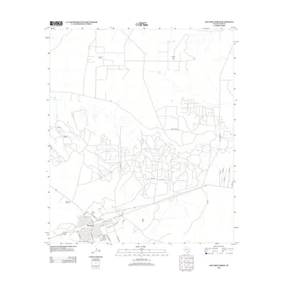
2012 Map of McCamey North
USGS Topo · Published 2012About this map
McCamey serves as the focal point for this 2012 survey of West Texas petroleum country, where a dense grid of service roads supports the regional energy economy. The landscape is defined by extensive industrial footprints, including the McCamey Oil Field, Shirk Oil Field, and the Fradean Oil Field to the north. These oil-producing areas are connected by a network of county routes like White Cross Rd and Ranch Road 2463, which bypass traditional landmarks like Old Maid Spring and Barrel Spring. The town itself is well-developed with a structured street grid featuring Santa Fe St, Pecos St, and Elliott St. To the west, the Garden of Memories cemetery and the Upton County Airport anchor the local community infrastructure. The presence of the Mesa Tank Farm east of town further emphasizes the role of storage and transport in this high-plains industrial landscape.
Find a feature on this map
43 named features on this map. Tap any name to fly to it.
Don’t see what you’re looking for? This feature index may not catch every label — zoom into the map to look around manually.
Map Details
Editions of this 2012 McCamey North Map
This is the sole edition of this map. No revisions or reprints were ever made.
Other maps of this area

1928 · Crane
USGS Topo · 1:125,000

1954 · Pecos
USGS Topo · 1:250,000

1957 · Pecos
USGS Topo · 1:250,000
1971 · Marlboro Canyon SE
USGS Topo · 1:24,000

1971 · Marlboro Canyon
USGS Topo · 1:24,000

1972 · Girvin NE
USGS Topo · 1:24,000
1972 · McCamey South
USGS Topo · 1:24,000
1972 · Table Top Mountain
USGS Topo · 1:24,000
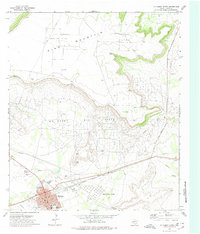
1972 · McCamey North
USGS Topo · 1:24,000
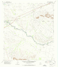
1972 · Girvin SE
USGS Topo · 1:24,000