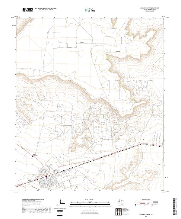
2022 Map of McCamey North
USGS Topo · Published 2022About this map
McCamey sits at the southwestern edge of this West Texas landscape, where the grid of city streets meets the rising elevations of the Edwards Plateau. The town’s layout is defined by a dense residential and commercial core, with street names paying homage to Texas and military history such as Nimitz St, McKinney Ave, and Crockett Ave. North of the settlement, the terrain shifts dramatically toward the prominent heights of King Mtn, a massive mesa that dominates the northern horizon. The transition from the town site to the high desert is marked by critical water sources like Old Maid Spring and Barrel Spring, which have long served as vital landmarks in this arid environment. Transportation through the area is anchored by the corridor of Highway 67 and Highway 385, connecting the local community and the Upton County Airport to the broader regional network of cattle and oil country.
Find a feature on this map
61 named features on this map. Tap any name to fly to it.
Don’t see what you’re looking for? This feature index may not catch every label — zoom into the map to look around manually.
Map Details
Editions of this 2022 McCamey North Map
This is the sole edition of this map. No revisions or reprints were ever made.
Other maps of this area

1928 · Crane
USGS Topo · 1:125,000

1954 · Pecos
USGS Topo · 1:250,000

1957 · Pecos
USGS Topo · 1:250,000
1971 · Marlboro Canyon SE
USGS Topo · 1:24,000

1971 · Marlboro Canyon
USGS Topo · 1:24,000

1972 · Girvin NE
USGS Topo · 1:24,000
1972 · McCamey South
USGS Topo · 1:24,000
1972 · Table Top Mountain
USGS Topo · 1:24,000
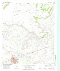
1972 · McCamey North
USGS Topo · 1:24,000
1972 · Girvin SE
USGS Topo · 1:24,000