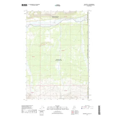
2017 Map of McCarthy C-1 NE
USGS Topo · Published 2017About this map
Wrangell-Saint Elias National Park and the adjacent Wrangell-Saint Elias National Preserve dominate this high-latitude landscape, where the braided channels of the White River sweep across the northern extent. The map captures a remote borderland where the Alaska Valdez-Cordova Census Area meets the international boundary of the United States of America / Canada. This 2017 survey details a wilderness primarily defined by its hydrography, with significant drainage systems including Kletsan Creek in the east and Traver Creek and its Dry Fork at the center. The lack of established roads or structures emphasizes the isolation of this interior region, providing an essential record for those studying the unmodified natural geography of the Alaskan frontier.
Find a feature on this map
16 named features on this map. Tap any name to fly to it.
Don’t see what you’re looking for? This feature index may not catch every label — zoom into the map to look around manually.
Map Details
Editions of this 2017 McCarthy C-1 NE Map
This is the sole edition of this map. No revisions or reprints were ever made.
Other maps of this area

1951 · McCarthy
USGS Topo · 1:250,000

1959 · McCarthy D-1
USGS Topo · 1:63,360

1959 · McCarthy C-1
USGS Topo · 1:63,360

1960 · McCarthy
USGS Topo · 1:250,000
2017 · McCarthy C-1 SE
USGS Topo · 1:25,000
2017 · McCarthy C-1 SW
USGS Topo · 1:25,000
2017 · McCarthy D-1 SE
USGS Topo · 1:25,000
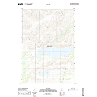
2017 · McCarthy D-1 SW
USGS Topo · 1:25,000
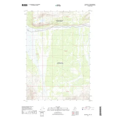
2017 · McCarthy C-1 NW
USGS Topo · 1:25,000
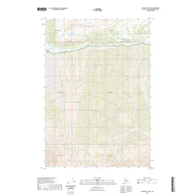
2023 · McCarthy C-1 NW
USGS Topo · 1:25,000