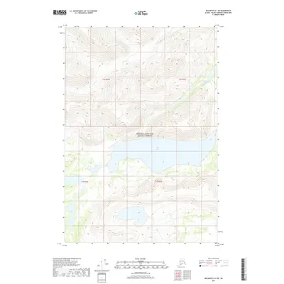
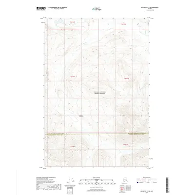
2017 Map of McCarthy D-1 SW
USGS Topo · Published 2017About this map
The Wrangell-Saint Elias National Preserve encompasses most of this landscape, where the elevation rises steeply toward the northern boundary. Glacial influence is evident in the alignment of the waterways, particularly the large basin containing Rock Lake. Fed by Young Cr from the west, this water body sits within a high-altitude valley defined by sharp ridgelines. To the northeast, the smaller Ptarmigan Lake is tucked between ridges, while Francis Cr drains the northern slopes. The map illustrates a transitional sub-arctic environment, showing the fine-grained topographic detail of the alpine terrain and the drainage patterns that characterize this remote portion of the Chugach Mountains region before the landscape reaches higher glacial peaks.
Find a feature on this map
9 named features on this map. Tap any name to fly to it.
Don’t see what you’re looking for? This feature index may not catch every label — zoom into the map to look around manually.
Map Details
Editions of this 2017 McCarthy D-1 SW Map
This is the sole edition of this map. No revisions or reprints were ever made.
Other maps of this area

1951 · McCarthy
USGS Topo · 1:250,000

1959 · McCarthy D-1
USGS Topo · 1:63,360

1959 · McCarthy D-2
USGS Topo · 1:63,360

1959 · McCarthy C-1
USGS Topo · 1:63,360

1959 · McCarthy C-2
USGS Topo · 1:63,360

1960 · McCarthy
USGS Topo · 1:250,000
2017 · McCarthy C-2 NE
USGS Topo · 1:25,000
2017 · McCarthy C-1 NE
USGS Topo · 1:25,000
2017 · McCarthy D-2 SE
USGS Topo · 1:25,000
2017 · McCarthy D-2 NE
USGS Topo · 1:25,000