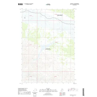
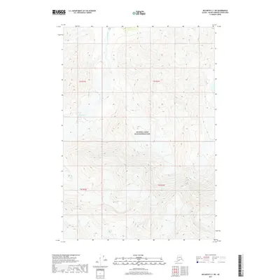
2017 Map of McCarthy C-2 NE
USGS Topo · Published 2017About this map
White River flows across this remote Alaskan interior landscape, dividing the wilderness between the Wrangell-Saint Elias National Preserve in the north and the Wrangell-Saint Elias National Park to the south. The river's braided path creates notable terrain features like North Fork Island and is joined by smaller tributaries including Divide Cr and Holmes Creek. This survey captures the transition from the high-altitude peaks of the Wrangell Mountains into the broad, glacial river valleys characteristic of the Copper River basin. The map reveals a pristine environment defined by significant elevation changes, where drainage patterns from the surrounding mountains dictate the shape of the land before it enters these protected federal wilderness areas.
Find a feature on this map
12 named features on this map. Tap any name to fly to it.
Don’t see what you’re looking for? This feature index may not catch every label — zoom into the map to look around manually.
Map Details
Editions of this 2017 McCarthy C-2 NE Map
This is the sole edition of this map. No revisions or reprints were ever made.
Other maps of this area

1951 · McCarthy
USGS Topo · 1:250,000

1959 · McCarthy D-1
USGS Topo · 1:63,360

1959 · McCarthy D-2
USGS Topo · 1:63,360

1959 · McCarthy C-1
USGS Topo · 1:63,360

1959 · McCarthy C-2
USGS Topo · 1:63,360

1960 · McCarthy
USGS Topo · 1:250,000
2017 · McCarthy C-2 SW
USGS Topo · 1:25,000
2017 · McCarthy D-2 SE
USGS Topo · 1:25,000
2017 · McCarthy D-2 SW
USGS Topo · 1:25,000
2017 · McCarthy C-1 SW
USGS Topo · 1:25,000