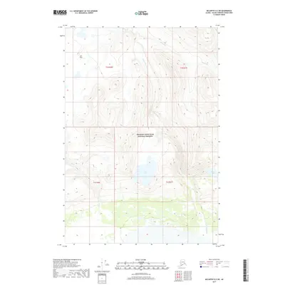
2017 Map of McCarthy D-2 SW
USGS Topo · Published 2017About this map
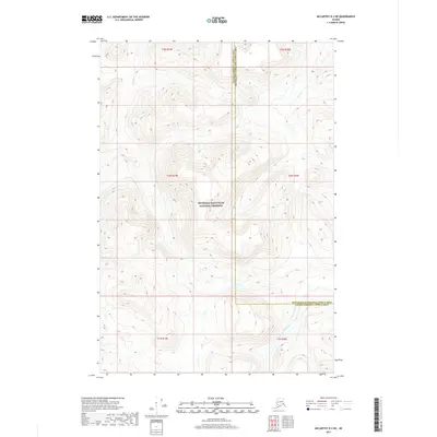
The Wrangell-Saint Elias National Preserve encompasses most of this landscape, where the N Fork White River winds through a high mountain valley. The terrain is characterized by steep glacial-fed drainage systems and high-altitude plateaus, most notably the Solo Flats in the northwest. This 2017 survey details a remote wilderness devoid of roads or settlements, where water bodies like Solo Lake and Greene Lake serve as primary landmarks for navigation. Smaller tributaries including Shotgold Cr, Solo Cr, and Greene Cr create a complex hydrographic network within the preserve, illustrating the natural erosion patterns of the Wrangell Mountains. For the researcher or explorer, the map provides a precise look at the undisturbed topography of the Unorganized Borough during the early 21st century.
Find a feature on this map
12 named features on this map. Tap any name to fly to it.
Don’t see what you’re looking for? This feature index may not catch every label — zoom into the map to look around manually.
Map Details
Editions of this 2017 McCarthy D-2 SW Map
This is the sole edition of this map. No revisions or reprints were ever made.
Other maps of this area

1951 · McCarthy
USGS Topo · 1:250,000

1959 · McCarthy D-3
USGS Topo · 1:63,360

1959 · McCarthy D-2
USGS Topo · 1:63,360

1959 · McCarthy C-3
USGS Topo · 1:63,360

1959 · McCarthy C-2
USGS Topo · 1:63,360

1960 · McCarthy
USGS Topo · 1:250,000
2017 · McCarthy C-2 NE
USGS Topo · 1:25,000
2017 · McCarthy C-3 NE
USGS Topo · 1:25,000
2017 · McCarthy D-2 SE
USGS Topo · 1:25,000
2017 · McCarthy D-3 NE
USGS Topo · 1:25,000