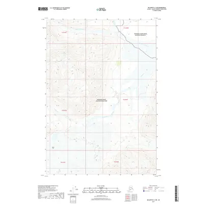
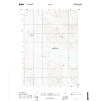
2017 Map of McCarthy C-3 NE
USGS Topo · Published 2017About this map
Skolai Pass serves as a critical geographic gateway in this high-altitude Alaskan landscape, where glacial drainage patterns dictate the terrain. The hydrological network is dominated by the White River, which is joined by the Middle Fork White River and several glacial tributaries including Flood Creek, Wiley Cr, and Moraine Cr. This 2017 survey details the administrative division between the Wrangell-Saint Elias National Park and the adjacent Wrangell-Saint Elias National Preserve. The map illustrates the stark transition from the steep peaks surrounding Lime Creek to the braided river channels below. The presence of the Skolai Pass provides an essential landmark for understanding traditional movement through the eastern Alaska Range and the Wrangell Mountains.
Find a feature on this map
15 named features on this map. Tap any name to fly to it.
Don’t see what you’re looking for? This feature index may not catch every label — zoom into the map to look around manually.
Map Details
Editions of this 2017 McCarthy C-3 NE Map
This is the sole edition of this map. No revisions or reprints were ever made.
Other maps of this area

1951 · McCarthy
USGS Topo · 1:250,000

1959 · McCarthy D-3
USGS Topo · 1:63,360

1959 · McCarthy D-2
USGS Topo · 1:63,360

1959 · McCarthy C-3
USGS Topo · 1:63,360

1959 · McCarthy C-2
USGS Topo · 1:63,360

1960 · McCarthy
USGS Topo · 1:250,000
2017 · McCarthy C-2 SW
USGS Topo · 1:25,000
2017 · McCarthy D-3 SW
USGS Topo · 1:25,000
2017 · McCarthy D-2 SW
USGS Topo · 1:25,000
2017 · McCarthy C-3 SE
USGS Topo · 1:25,000