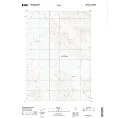
2017 Map of McCarthy C-3 SE
USGS Topo · Published 2017About this map
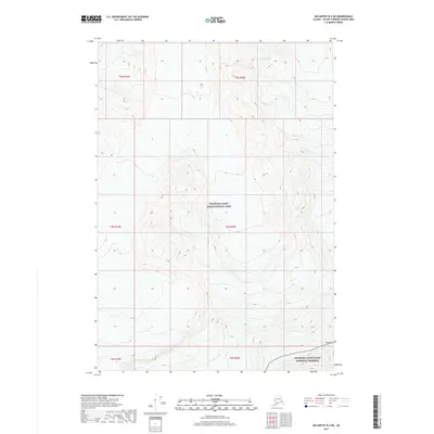
Russell Glacier dominates the upper-left quadrant of this remote terrain, its icy expanse and terminal face clearly delineated against the steep surrounding ridges. The landscape is part of the massive Wrangell-Saint Elias National Park, which encompasses nearly the entire sheet. This 2017 survey reveals the high-altitude topography of the interior, defined by a complex network of ridgelines and drainage basins that form the glacial headwaters. The map serves as a primary record of the glacial extent and landforms during the early 21st century, illustrating the transition from ice-covered valleys to the steep, rocky slopes of the Wrangell Mountains. Aside from the natural features and public land boundaries, the area is devoid of roads or settlements, reflecting its status as part of a protected wilderness area.
Find a feature on this map
6 named features on this map. Tap any name to fly to it.
Don’t see what you’re looking for? This feature index may not catch every label — zoom into the map to look around manually.
Map Details
Editions of this 2017 McCarthy C-3 SE Map
This is the sole edition of this map. No revisions or reprints were ever made.
Other maps of this area

1951 · McCarthy
USGS Topo · 1:250,000

1959 · McCarthy C-3
USGS Topo · 1:63,360

1959 · McCarthy B-2
USGS Topo · 1:63,360

1959 · McCarthy C-2
USGS Topo · 1:63,360

1959 · McCarthy B-3
USGS Topo · 1:63,360

1960 · McCarthy
USGS Topo · 1:250,000
2017 · McCarthy B-2 NW
USGS Topo · 1:25,000
2017 · McCarthy C-2 SW
USGS Topo · 1:25,000
2017 · McCarthy C-3 NE
USGS Topo · 1:25,000
2017 · McCarthy B-3 NE
USGS Topo · 1:25,000