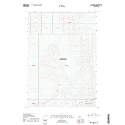
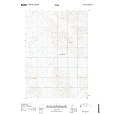
2017 Map of McCarthy B-3 NE
USGS Topo · Published 2017About this map
Mt Bona dominates the southeastern quadrant of this terrain, marking a high point in a landscape defined by dramatic elevation changes. Much of this remote region is managed under federal protection, as the map illustrates the boundary where the Wrangell-Saint Elias National Park transitions into the Wrangell-Saint Elias National Preserve. In the north, the massive Russell Glacier carves through the mountains, highlighting the glacial activity that continues to shape this corner of the Unorganized Borough. This 2017 survey provides a modern topographical look at the extreme verticality of the Saint Elias Mountains, where nearly all land is preserved in its wild state, devoid of roads or permanent human settlements.
Find a feature on this map
10 named features on this map. Tap any name to fly to it.
Don’t see what you’re looking for? This feature index may not catch every label — zoom into the map to look around manually.
Map Details
Editions of this 2017 McCarthy B-3 NE Map
This is the sole edition of this map. No revisions or reprints were ever made.
Other maps of this area

1951 · McCarthy
USGS Topo · 1:250,000

1959 · McCarthy C-3
USGS Topo · 1:63,360

1959 · McCarthy B-2
USGS Topo · 1:63,360

1959 · McCarthy C-2
USGS Topo · 1:63,360

1959 · McCarthy B-3
USGS Topo · 1:63,360

1960 · McCarthy
USGS Topo · 1:250,000
2017 · McCarthy B-2 NW
USGS Topo · 1:25,000
2017 · McCarthy C-2 SW
USGS Topo · 1:25,000
2017 · McCarthy B-2 SW
USGS Topo · 1:25,000
2017 · McCarthy C-3 SE
USGS Topo · 1:25,000