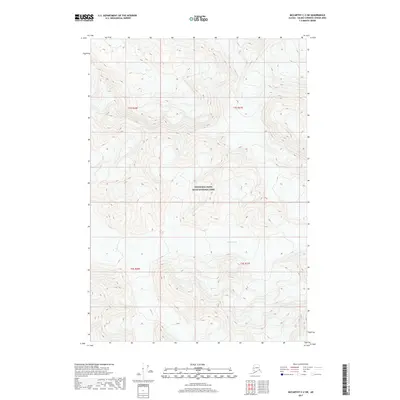
2017 Map of McCarthy C-2 SW
USGS Topo · Published 2017About this map
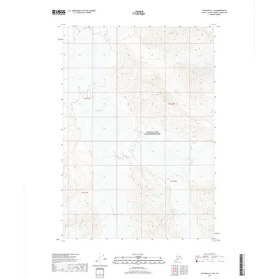
Wrangell-Saint Elias National Park dominates this section of the interior, where the high-altitude landscape is shaped by massive ice movements. Centrally located within the quadrangle, the Russell Glacier carves through the terrain, illustrating the active glacial processes that define this part of the Valdez-Cordova Census Area. This 2017 survey reveals a nearly pristine wilderness environment where human settlement is absent, replaced by a complex network of contours and topographic lines that trace the steep elevations and glacial valleys. The map provides a precise record of the physical geography of the Wrangell-Saint Elias National Park, serving as a foundational document for understanding the state of these protected lands in the early 21st century.
Find a feature on this map
6 named features on this map. Tap any name to fly to it.
Don’t see what you’re looking for? This feature index may not catch every label — zoom into the map to look around manually.
Map Details
Editions of this 2017 McCarthy C-2 SW Map
This is the sole edition of this map. No revisions or reprints were ever made.
Other maps of this area

1951 · McCarthy
USGS Topo · 1:250,000

1959 · McCarthy C-3
USGS Topo · 1:63,360

1959 · McCarthy B-2
USGS Topo · 1:63,360

1959 · McCarthy C-2
USGS Topo · 1:63,360

1959 · McCarthy B-3
USGS Topo · 1:63,360

1960 · McCarthy
USGS Topo · 1:250,000
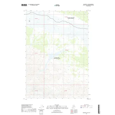
2017 · McCarthy C-2 NE
USGS Topo · 1:25,000
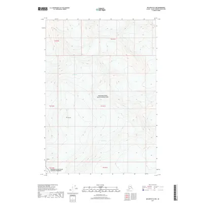
2017 · McCarthy B-2 NW
USGS Topo · 1:25,000
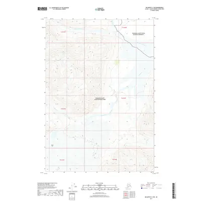
2017 · McCarthy C-3 NE
USGS Topo · 1:25,000
2017 · McCarthy C-3 SE
USGS Topo · 1:25,000