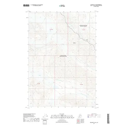
2017 Map of McCarthy D-3 SW
USGS Topo · Published 2017About this map
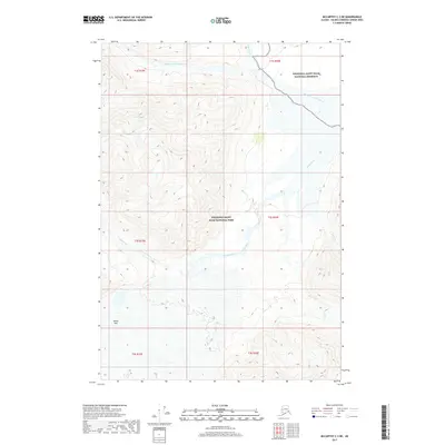
The Wrangell Mountains dominate this high-altitude landscape within the protected boundaries of Wrangell-Saint Elias National Park and the adjacent Wrangell-Saint Elias National Preserve. This glaciated terrain is defined by massive ice fields including Lime Glacier and Middle Fork Glacier, which serve as the headwaters for a complex alpine drainage system. The Middle Fork White River and North Fork White River carve through the deep valleys between high summits such as Beaver Peak. Precise cartography here captures a wilderness largely devoid of human structures, focusing instead on the hydrological patterns of Lime Creek and Geohenda Cr as they flow from the ice-capped peaks. The map reveals the intricate contours of a landscape shaped by active glaciation and the dramatic vertical relief characteristic of this corner of the Unorganized Borough.
Find a feature on this map
15 named features on this map. Tap any name to fly to it.
Don’t see what you’re looking for? This feature index may not catch every label — zoom into the map to look around manually.
Map Details
Editions of this 2017 McCarthy D-3 SW Map
This is the sole edition of this map. No revisions or reprints were ever made.
Other maps of this area

1951 · McCarthy
USGS Topo · 1:250,000

1959 · McCarthy C-4
USGS Topo · 1:63,360

1959 · McCarthy D-3
USGS Topo · 1:63,360

1959 · McCarthy C-3
USGS Topo · 1:63,360

1960 · McCarthy D-4
USGS Topo · 1:63,360

1960 · McCarthy
USGS Topo · 1:250,000
1993 · McCarthy C-4
USGS Topo · 1:63,360
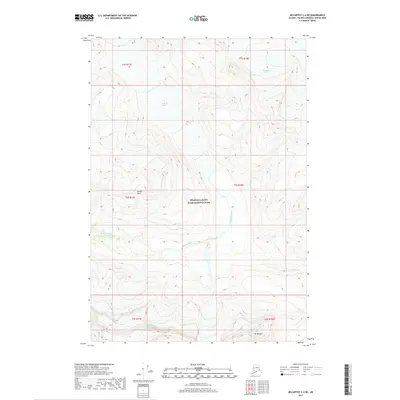
2017 · McCarthy C-4 NE
USGS Topo · 1:25,000
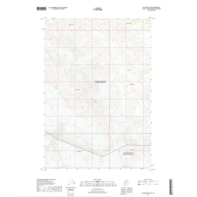
2017 · McCarthy D-4 NE
USGS Topo · 1:25,000
2017 · McCarthy C-3 NE
USGS Topo · 1:25,000