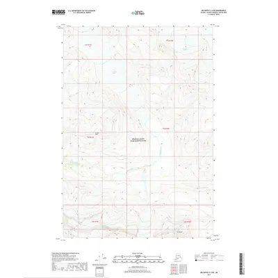
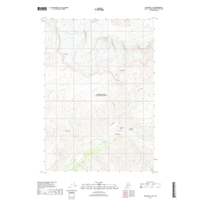
2017 Map of McCarthy C-4 NE
USGS Topo · Published 2017About this map
Wrangell-Saint Elias National Park encompasses this high-altitude landscape, where massive glacial features and steep mountain peaks dominate the geography. The map documents the vast icy expanses of the Middle Fork Glacier and Frederika Glacier, illustrating the source waters for the region's braided drainage systems. Meltwater flows into the drainage of Frederika Creek and Station Cr, eventually joining Skolai Creek as it moves through the valley. Significant landmarks such as Golden Horn and Mt Baldwin provide fixed elevation points within this evolving glacial environment. This 2017 survey by the U.S. Geological Survey provides a precise record of the ice margins and drainage patterns at the start of the twenty-first century, offering a baseline for studying the shifting morphology of this wilderness area.
Find a feature on this map
15 named features on this map. Tap any name to fly to it.
Don’t see what you’re looking for? This feature index may not catch every label — zoom into the map to look around manually.
Map Details
Editions of this 2017 McCarthy C-4 NE Map
This is the sole edition of this map. No revisions or reprints were ever made.
Other maps of this area

1951 · McCarthy
USGS Topo · 1:250,000

1959 · McCarthy C-4
USGS Topo · 1:63,360

1959 · McCarthy D-3
USGS Topo · 1:63,360

1959 · McCarthy C-3
USGS Topo · 1:63,360

1960 · McCarthy D-4
USGS Topo · 1:63,360

1960 · McCarthy
USGS Topo · 1:250,000
1993 · McCarthy C-4
USGS Topo · 1:63,360
2017 · McCarthy C-4 SW
USGS Topo · 1:25,000
2017 · McCarthy D-3 SW
USGS Topo · 1:25,000
2017 · McCarthy C-4 SE
USGS Topo · 1:25,000