
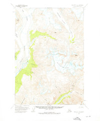
1959 Map of McCarthy C-4
USGS Topo · Published 1964About this map
Rohn Glacier and Frederika Glacier dominate the northern terrain of this 1950s interior Alaskan survey, carving deep valleys that feed the headwaters of the Nizina River. The landscape is defined by its massive ice fields and the steep drainages of Skolai Creek and Frederika Creek. A notable presence in the southeast is the Chitistone River, which cuts through the dramatic Chitistone Gorge near the spectacular Chitistone Falls.
Find a feature on this map
22 named features on this map. Tap any name to fly to it.
Don’t see what you’re looking for? This feature index may not catch every label — zoom into the map to look around manually.
Map Details
Editions of this 1959 McCarthy C-4 Map
3 editions found
Other maps of this area

1951 · McCarthy
USGS Topo · 1:250,000

1959 · McCarthy C-5
USGS Topo · 1:63,360

1959 · McCarthy B-5
USGS Topo · 1:63,360

1959 · McCarthy B-4
USGS Topo · 1:63,360

1959 · McCarthy D-3
USGS Topo · 1:63,360

1959 · McCarthy C-3
USGS Topo · 1:63,360

1959 · McCarthy B-3
USGS Topo · 1:63,360
1960 · McCarthy D-5
USGS Topo · 1:63,360

1960 · McCarthy D-4
USGS Topo · 1:63,360

1960 · McCarthy
USGS Topo · 1:250,000