
1959 Map of McCarthy C-5
USGS Topo · Published 1963About this map
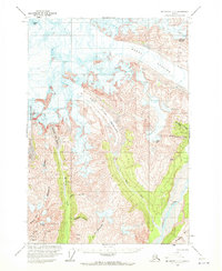
Industrial mining operations dominate the high ridges of the Wrangell Mountains in the late 1950s, where an Aerial Tram connects the rugged peaks to the valleys below. The concentrated activity at the Jumbo Mine, Mother Lode Mine, and Bonanza Mine near Bonanza Peak highlights a significant era of copper extraction. The landscape is defined by massive ice flows, including the Regal Glacier and West Fork Glacier, which feed the southern-flowing McCarthy Creek and Nizina River. These glacial systems and their terminal moraines create a dynamic environment for the mining infrastructure, which includes a remote Landing Strip and numerous named summits like Chimney Mountain and Green Butte. The placement of these mines amidst the glaciers of the Wrangell Range illustrates the extreme logistical challenges faced by early 20th-century Alaskan mineral ventures.
Find a feature on this map
19 named features on this map. Tap any name to fly to it.
Don’t see what you’re looking for? This feature index may not catch every label — zoom into the map to look around manually.
Map Details
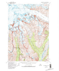
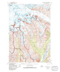
Editions of this 1959 McCarthy C-5 Map
4 editions found
Other maps of this area

1951 · McCarthy
USGS Topo · 1:250,000

1959 · McCarthy B-6
USGS Topo · 1:63,360

1959 · McCarthy B-5
USGS Topo · 1:63,360

1959 · McCarthy C-4
USGS Topo · 1:63,360

1959 · McCarthy B-4
USGS Topo · 1:63,360

1959 · McCarthy C-6
USGS Topo · 1:63,360

1960 · McCarthy D-6
USGS Topo · 1:63,360
1960 · McCarthy D-5
USGS Topo · 1:63,360

1960 · McCarthy D-4
USGS Topo · 1:63,360

1960 · McCarthy
USGS Topo · 1:250,000