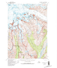
1959 Map of McCarthy C-5
USGS Topo · Published 1994About this map
Regal Mtn stands as a massive anchor for the ice-clad landscape of the Wrangell Mountains in this 1950s era survey. The map details a world of moving ice and deep drainages, dominated by the Regal Glacier and the expansive West Fork Glacier. To the south, the topography descends into the valleys of the Nizina River and Chitistone River, where a small Landing Strip provides a rare point of access to this high-altitude environment.
Find a feature on this map
24 named features on this map. Tap any name to fly to it.
Don’t see what you’re looking for? This feature index may not catch every label — zoom into the map to look around manually.
Map Details
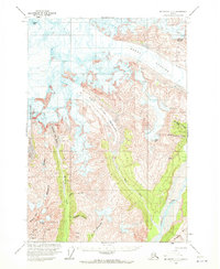
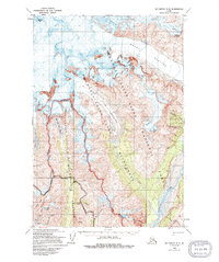
Editions of this 1959 McCarthy C-5 Map
4 editions found
Other maps of this area

1951 · McCarthy
USGS Topo · 1:250,000

1959 · McCarthy B-6
USGS Topo · 1:63,360

1959 · McCarthy C-5
USGS Topo · 1:63,360

1959 · McCarthy B-5
USGS Topo · 1:63,360

1959 · McCarthy C-4
USGS Topo · 1:63,360

1959 · McCarthy B-4
USGS Topo · 1:63,360

1959 · McCarthy C-6
USGS Topo · 1:63,360

1960 · McCarthy D-6
USGS Topo · 1:63,360
1960 · McCarthy D-5
USGS Topo · 1:63,360

1960 · McCarthy D-4
USGS Topo · 1:63,360