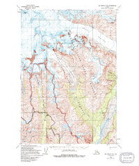
1959 Map of McCarthy C-5
USGS Topo · Published 1994About this map
Bonanza Mine and the Mother Lode Mine sit high upon the western slopes of Bonanza Ridge, marking the industrial footprint of this copper-rich region. The drainage patterns follow the steep descent of McCarthy Creek and Bonanza Creek as they flow toward the south, while the northern and western reaches are dominated by massive ice features including the Regal Glacier, West Fork Glacier, and the dramatic Stairway Icefall.
Find a feature on this map
29 named features on this map. Tap any name to fly to it.
Don’t see what you’re looking for? This feature index may not catch every label — zoom into the map to look around manually.
Map Details
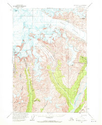
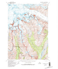
Editions of this 1959 McCarthy C-5 Map
4 editions found
Other maps of this area

1951 · McCarthy
USGS Topo · 1:250,000

1959 · McCarthy B-6
USGS Topo · 1:63,360

1959 · McCarthy C-5
USGS Topo · 1:63,360

1959 · McCarthy B-5
USGS Topo · 1:63,360

1959 · McCarthy C-4
USGS Topo · 1:63,360

1959 · McCarthy B-4
USGS Topo · 1:63,360

1959 · McCarthy C-6
USGS Topo · 1:63,360

1960 · McCarthy D-6
USGS Topo · 1:63,360
1960 · McCarthy D-5
USGS Topo · 1:63,360

1960 · McCarthy D-4
USGS Topo · 1:63,360