
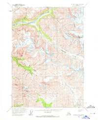
1959 Map of McCarthy B-4
USGS Topo · Published 1964About this map
Chitistone River defines the northern reaches of this Alaskan interior landscape, a region marked by intensive mineral exploration in the late 1950s. The presence of several distinct mining claims, including the Nelson Prospect, Radovan Prospect, and Erickson Prospect, points to a persistent search for copper and other minerals among the high ridges. In an era when access to such high-elevation terrain remained difficult, the infrastructure noted here—specifically the Aerial Tramway and the Glacier Creek Landing Strip—highlights the specialized logistics required for mountain prospecting.
Find a feature on this map
37 named features on this map. Tap any name to fly to it.
Don’t see what you’re looking for? This feature index may not catch every label — zoom into the map to look around manually.
Map Details
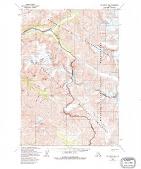
Editions of this 1959 McCarthy B-4 Map
3 editions found
Other maps of this area

1951 · McCarthy
USGS Topo · 1:250,000

1959 · McCarthy A-4
USGS Topo · 1:63,360

1959 · McCarthy C-5
USGS Topo · 1:63,360

1959 · McCarthy B-5
USGS Topo · 1:63,360

1959 · McCarthy C-4
USGS Topo · 1:63,360

1959 · McCarthy C-3
USGS Topo · 1:63,360

1959 · McCarthy A-5
USGS Topo · 1:63,360

1959 · McCarthy A-3
USGS Topo · 1:63,360

1959 · McCarthy B-3
USGS Topo · 1:63,360

1960 · McCarthy
USGS Topo · 1:250,000