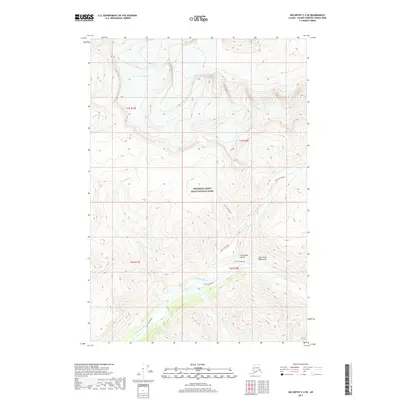
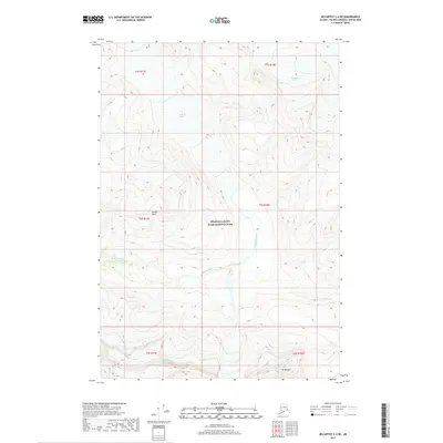
2017 Map of McCarthy C-4 SE
USGS Topo · Published 2017About this map
Wrangell-Saint Elias National Park dominates this landscape, showing the dramatic elevations of the Saint Elias Mountains in the Unorganized Borough. The topography is defined by the steep descent into Chitistone Gorge, where the Chitistone River carves through the terrain. A notable geographic feature in the northern section is the Hole-In-The-Wall Glacier, which feeds into the local drainage system including Moonshine Cr and Hasen Cr. For those tracing historical movement through this high country, the Goat Trail Route is clearly marked as it traverses the slopes above the river, passing near the spectacular Chitistone Falls. This map captures a portion of the Alaskan wilderness where traditional foot routes provide the primary means of navigating between the glacial heights and the deep river valleys.
Find a feature on this map
14 named features on this map. Tap any name to fly to it.
Don’t see what you’re looking for? This feature index may not catch every label — zoom into the map to look around manually.
Map Details
Editions of this 2017 McCarthy C-4 SE Map
This is the sole edition of this map. No revisions or reprints were ever made.
Other maps of this area

1951 · McCarthy
USGS Topo · 1:250,000

1959 · McCarthy C-4
USGS Topo · 1:63,360

1959 · McCarthy B-4
USGS Topo · 1:63,360

1959 · McCarthy C-3
USGS Topo · 1:63,360

1959 · McCarthy B-3
USGS Topo · 1:63,360

1960 · McCarthy
USGS Topo · 1:250,000
1993 · McCarthy C-4
USGS Topo · 1:63,360
1994 · McCarthy B-4
USGS Topo · 1:63,360
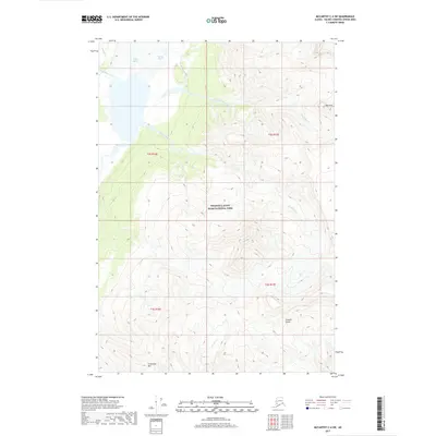
2017 · McCarthy C-4 SW
USGS Topo · 1:25,000
2017 · McCarthy C-4 NE
USGS Topo · 1:25,000