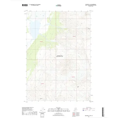
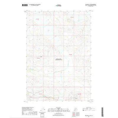
2017 Map of McCarthy C-4 SW
USGS Topo · Published 2017About this map
Wrangell-Saint Elias National Park dominates this landscape, where the massive ice flows of Regal Glacier and Nizina Glacier descend into the high valleys. The glacial melt feeds a network of waterways including Gurkin Cr and Amphitheatre Cr, which eventually merge into the braided channels of the Nizina River. To the east and south, the terrain is defined by sharp elevation changes at The Finn and the towering heights of Chitistone Mtn. This 2017 survey by the U.S. Geological Survey captures a wild, high-altitude environment marked by steep drainages like Contact Gulch and Moonshine Creek. The map provides a precise look at the drainage patterns of Doubtful Creek and Grotto Cr as they navigate the complex topography of the Alaska Range.
Find a feature on this map
18 named features on this map. Tap any name to fly to it.
Don’t see what you’re looking for? This feature index may not catch every label — zoom into the map to look around manually.
Map Details
Editions of this 2017 McCarthy C-4 SW Map
This is the sole edition of this map. No revisions or reprints were ever made.
Other maps of this area

1951 · McCarthy
USGS Topo · 1:250,000

1959 · McCarthy C-5
USGS Topo · 1:63,360

1959 · McCarthy B-5
USGS Topo · 1:63,360

1959 · McCarthy C-4
USGS Topo · 1:63,360

1959 · McCarthy B-4
USGS Topo · 1:63,360

1960 · McCarthy
USGS Topo · 1:250,000
1993 · McCarthy C-4
USGS Topo · 1:63,360
1993 · McCarthy C-5
USGS Topo · 1:63,360
1994 · McCarthy B-4
USGS Topo · 1:63,360
2017 · McCarthy C-4 NE
USGS Topo · 1:25,000