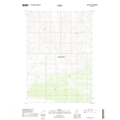
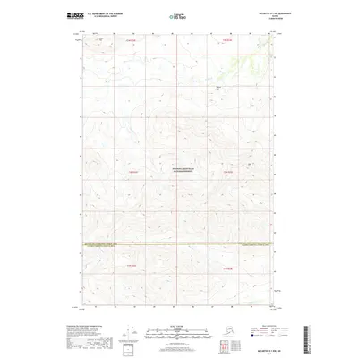
2017 Map of McCarthy D-2 SE
USGS Topo · Published 2017About this map
Wrangell-Saint Elias National Preserve encompasses the central portion of this 2017 survey, where high-elevation drainage patterns define the wilderness geography of the Alaska interior. The landscape is characterized by a network of seasonal and perennial watercourses, notably Divide Cr which cuts through the southern half of the quadrangle near Burnt Hill. This area, situated within the Unorganized Borough, shows the complex topography of the Copper River region just before the land descends toward the coastal ranges. Further north, the headwaters of Shotgold Cr and Francis Cr weave through steep contour intervals, while the secluded Greene Lake sits near the western boundary. This map is a primary resource for understanding the hydrography of the Wrangell Mountains, capturing the specific locations of named features like Young Cr and Greene Cr within the protected federal preserve.
Find a feature on this map
12 named features on this map. Tap any name to fly to it.
Don’t see what you’re looking for? This feature index may not catch every label — zoom into the map to look around manually.
Map Details
Editions of this 2017 McCarthy D-2 SE Map
This is the sole edition of this map. No revisions or reprints were ever made.
Other maps of this area

1951 · McCarthy
USGS Topo · 1:250,000

1959 · McCarthy D-1
USGS Topo · 1:63,360

1959 · McCarthy D-2
USGS Topo · 1:63,360

1959 · McCarthy C-1
USGS Topo · 1:63,360

1959 · McCarthy C-2
USGS Topo · 1:63,360

1960 · McCarthy
USGS Topo · 1:250,000
2017 · McCarthy C-2 NE
USGS Topo · 1:25,000
2017 · McCarthy D-2 SW
USGS Topo · 1:25,000
2017 · McCarthy D-2 NE
USGS Topo · 1:25,000
2017 · McCarthy D-1 NW
USGS Topo · 1:25,000