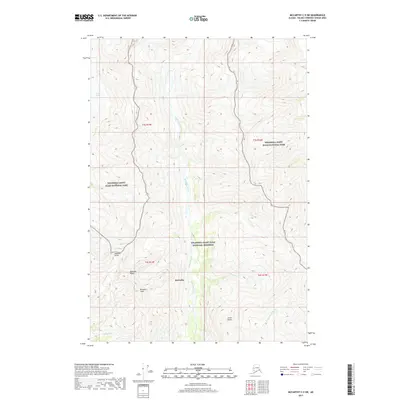
2017 Map of McCarthy C-5 SW
USGS Topo · Published 2017About this map
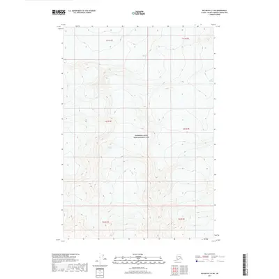
McCarthy sits at the heart of this high-altitude landscape, where the confluence of several glacial streams defines the local geography. The map documents the boundary transition between the Wrangell-Saint Elias National Park and the Wrangell-Saint Elias National Preserve, a region deeply shaped by historical mining activity and glacial movement. Large-scale topographic features such as Bonanza Ridge and Bonanza Peak loom over the drainage basins of Amazon Cr and Jumbo Cr. The presence of Root Glacier in the northwest corner highlights the persistent glacial environment that continues to carve this terrain. Waterways like McCarthy Creek and its various tributaries, including Dimond Cr and Lubbock Cr, flow through steep valleys, illustrating the complex hydrography of this interior Alaskan wilderness near the Wrangell Mountains.
Find a feature on this map
20 named features on this map. Tap any name to fly to it.
Don’t see what you’re looking for? This feature index may not catch every label — zoom into the map to look around manually.
Map Details
Editions of this 2017 McCarthy C-5 SW Map
This is the sole edition of this map. No revisions or reprints were ever made.
Other maps of this area

1951 · McCarthy
USGS Topo · 1:250,000

1959 · McCarthy B-6
USGS Topo · 1:63,360

1959 · McCarthy C-5
USGS Topo · 1:63,360

1959 · McCarthy B-5
USGS Topo · 1:63,360

1959 · McCarthy C-6
USGS Topo · 1:63,360

1960 · McCarthy
USGS Topo · 1:250,000
1993 · McCarthy C-6
USGS Topo · 1:63,360
1993 · McCarthy C-5
USGS Topo · 1:63,360
1994 · McCarthy B-6
USGS Topo · 1:63,360
2017 · McCarthy C-6 NE
USGS Topo · 1:25,000