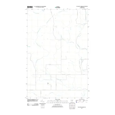
2010 Map of McCarthy Creek
USGS Topo · Published 2010About this map
Molde Lookout Tower stands as a focal point in this 2010 topographic study of the northeastern Minnesota woods, where the drainage patterns of the Knife River system dominate the landscape. The area is characterized by the convergence of several waterways, including the West Branch Knife River, McCarthy Creek, and the family-named Captain Jacobson Creek. The presence of Drummond Grade and Old Drummond Rd in the northeast corner points to the region's historic ties to the timber industry and the transportation networks that once supported it.
Find a feature on this map
31 named features on this map. Tap any name to fly to it.
Don’t see what you’re looking for? This feature index may not catch every label — zoom into the map to look around manually.
Map Details
Editions of this 2010 McCarthy Creek Map
This is the sole edition of this map. No revisions or reprints were ever made.
Other maps of this area

1953 · French River
USGS Topo · 1:24,000

1953 · Knife River
USGS Topo · 1:24,000

1953 · Ashland
USGS Topo · 1:250,000

1954 · Barrs Lake
USGS Topo · 1:24,000

1954 · Mc Carthy Creek
USGS Topo · 1:24,000

1954 · Two Harbors
USGS Topo · 1:250,000

1956 · Pequaywan Lake
USGS Topo · 1:24,000

1956 · King Lake
USGS Topo · 1:24,000

1957 · Two Harbors
USGS Topo · 1:250,000

1957 · Two Harbors
USGS Topo · 1:62,500