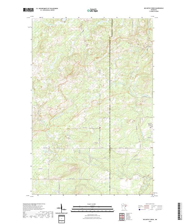
2022 Map of McCarthy Creek
USGS Topo · Published 2022About this map
St. Louis and Lake County boundaries meet in this northern Minnesota landscape, defined by a dense network of tributaries feeding into the Knife River. The terrain is marked by the winding paths of McCarthy Cr, Little Knife River, and Captain Jacobson Cr, illustrating the complex drainage patterns of the North Shore highlands. Human activity is evidenced by a grid of rural roads and township divisions, including Rossini Rd and Fox Farm Rd. A notable aviation landmark, the Richard B Helgeson Airport, sits on the eastern edge of the quadrangle near S Airport Rd, serving as a modern point of interest in an otherwise largely undeveloped area of timber and wetlands.
Find a feature on this map
47 named features on this map. Tap any name to fly to it.
Don’t see what you’re looking for? This feature index may not catch every label — zoom into the map to look around manually.
Map Details
Editions of this 2022 McCarthy Creek Map
This is the sole edition of this map. No revisions or reprints were ever made.
Other maps of this area

1953 · French River
USGS Topo · 1:24,000

1953 · Knife River
USGS Topo · 1:24,000

1953 · Ashland
USGS Topo · 1:250,000

1954 · Barrs Lake
USGS Topo · 1:24,000

1954 · Mc Carthy Creek
USGS Topo · 1:24,000

1954 · Two Harbors
USGS Topo · 1:250,000

1956 · Pequaywan Lake
USGS Topo · 1:24,000

1956 · King Lake
USGS Topo · 1:24,000

1957 · Two Harbors
USGS Topo · 1:250,000

1957 · Two Harbors
USGS Topo · 1:62,500