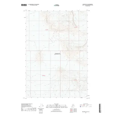
2017 Map of McCarthy D-6 SE
USGS Topo · Published 2017About this map
Nabesna Glacier dominates the southern reaches of this terrain, its slow passage carving through the high elevations of the Wrangell Mountains. This specific sector of the Wrangell-Saint Elias National Park is defined by extreme vertical relief, where steep ridgelines and deep glacial valleys remain largely untouched by infrastructure. The survey data reflects the pure physical geography of the Alaska wilderness, focusing on the intricate contour patterns and the flow of ice rather than human settlement. While the northern portion of the map covers the t1n r13e and t1n r14e townships, the landscape below centers on the massive ice field as it descends through t1s r13e and t1s r14e, showing the transition from peaks to frozen river.
Find a feature on this map
6 named features on this map. Tap any name to fly to it.
Don’t see what you’re looking for? This feature index may not catch every label — zoom into the map to look around manually.
Map Details
Editions of this 2017 McCarthy D-6 SE Map
This is the sole edition of this map. No revisions or reprints were ever made.
Other maps of this area

1951 · McCarthy
USGS Topo · 1:250,000

1959 · McCarthy C-5
USGS Topo · 1:63,360

1959 · McCarthy C-6
USGS Topo · 1:63,360

1960 · McCarthy D-6
USGS Topo · 1:63,360
1960 · McCarthy D-5
USGS Topo · 1:63,360

1960 · McCarthy
USGS Topo · 1:250,000
1993 · McCarthy C-6
USGS Topo · 1:63,360
1993 · McCarthy C-5
USGS Topo · 1:63,360
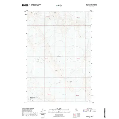
2017 · McCarthy C-6 NW
USGS Topo · 1:25,000
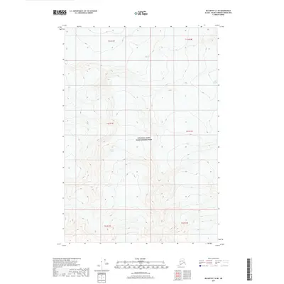
2017 · McCarthy C-6 NE
USGS Topo · 1:25,000